What is recorded here
Thirty-two metres of earthen ring in Gorteenaveela, County Galway, stands seventy metres southwest of another fort, its degraded bank losing trace only toward the west and west-northwest. A laneway presses against the monument from south-southwest to northwest, perhaps cutting through gaps that modern traffic widened. People may have lived inside the circle before roads arrived, tending fires and hearing wind move through the soil. The fair-condition rath still holds its shape, waiting for someone to walk the missing western edge and imagine what the lane took.
Some 70m SW of a ringfort (GA099-097----). An almost circular rath (N-S 32m, E-W 31m), in fair condition, defined by a degraded bank, no visible surface trace of which survives from W to WNW. Numerous gaps in the enclosing element appear modern. A laneway abuts the monument from SSW to NW.
The above description is derived from the published 'Archaeological Inventory of County Galway Vol. II - North Galway'. Compiled by Olive Alcock, Kathy de hÓra and Paul Gosling (Dublin: Stationery Office, 1999).
Date of upload: 05 August 2010
The monument record does not grant public access. Check the route and ask the landowner before entering private land.
- What survives
- Recorded monument
Places near here
 Loughunbrean FortFairy fort / earthen ringfort · 627 yd
 Enclosure in Cartron (clonmacnowen By.)Enclosure · 960 yd
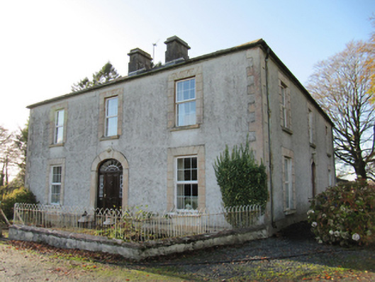 Cartron Househouse · 1485 yd
 Ballagh Castle (in Ruins)Castle, unclassified · 1496 yd
 Quarry in BallyterrimQuarry · 1681 yd
 Bawn in Cooltymurraghy (clonmacnowen By.)Bawn · 1.5 mi
 European BeechEuropean Beech · 1.9 mi
 European YewEuropean Yew · 2.1 mi
 The bloody HollowHeritage attraction · 2.1 mi
 Battle of AughrimMajor battlefield · 2.3 mi
 Urraghry HillMountain / peak · 2.4 mi
 Battle of Aughrim Interpretative CentreMuseum · 2.9 mi