What is recorded here
Modern ploughs and boundary walls have cut through the ancient earth, yet the subcircular ringfort still holds its shape on the Gorteenaveela rise. People may have lived inside that degraded bank before memory faded, or perhaps the land simply waiting for human hands to shape it. Either way, the grassland keeps the ghost of a doorway intact while the rest submits to the sky.
On a rise in undulating grassland. Subcircular ringfort (NE-SW c. 29.5m), in fair condition, defined by a degraded bank of earth and stone, no visible surface trace of which survives from SSW to SW. Numerous breaches in the bank appear modern. A field boundary cuts the monument at SE.
The above description is derived from the published 'Archaeological Inventory of County Galway Vol. II - North Galway'. Compiled by Olive Alcock, Kathy de hÓra and Paul Gosling (Dublin: Stationery Office, 1999).
Date of upload: 05 August 2010
The monument record does not grant public access. Check the route and ask the landowner before entering private land.
- What survives
- Recorded monument
Places near here
 Enclosure in Cartron (clonmacnowen By.)Enclosure · 659 yd
 Loughunbrean FortFairy fort / earthen ringfort · 1010 yd
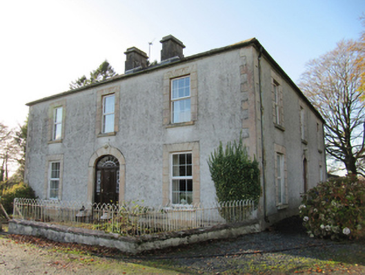 Cartron Househouse · 1161 yd
 Quarry in BallyterrimQuarry · 1474 yd
 Ballagh Castle (in Ruins)Castle, unclassified · 1666 yd
 Bawn in Cooltymurraghy (clonmacnowen By.)Bawn · 1.3 mi
 The bloody HollowHeritage attraction · 1.9 mi
 Battle of AughrimMajor battlefield · 2.1 mi
 European BeechEuropean Beech · 2.1 mi
 European YewEuropean Yew · 2.3 mi
 Urraghry HillMountain / peak · 2.3 mi
 Battle of Aughrim Interpretative CentreMuseum · 2.7 mi