What is recorded here
No visible wall remains at Gorteenadrolane, only a stony hillock in pasture where a field fence still curves like a forgotten boundary. The shape may be human, maybe a ringfort built and lost, or maybe the fairies rejected measurement and took back the land. Either way the place resists explanation, which is often the first sign it is telling the truth.
In pasture, atop hillock, broken by rock outcrop. Possible Man-made underground passage (CO082-040----) in interior and curve in field fence to SE suggest former presence of ringfort. According to landowner, ground around top of hillock usually stony when ploughed.
The above description is derived from the published 'Archaeological Inventory of County Cork. Volume 3: Mid Cork' (Dublin: Stationery Office, 1997). In certain instances the entries have been revised and updated in the light of recent research.
Date of upload/revision: 14 January 2009
The monument record does not grant public access. Check the route and ask the landowner before entering private land.
- What survives
- Recorded monument
Places near here
 Killeen Burial Gd (Disused)Burial ground · 928 yd
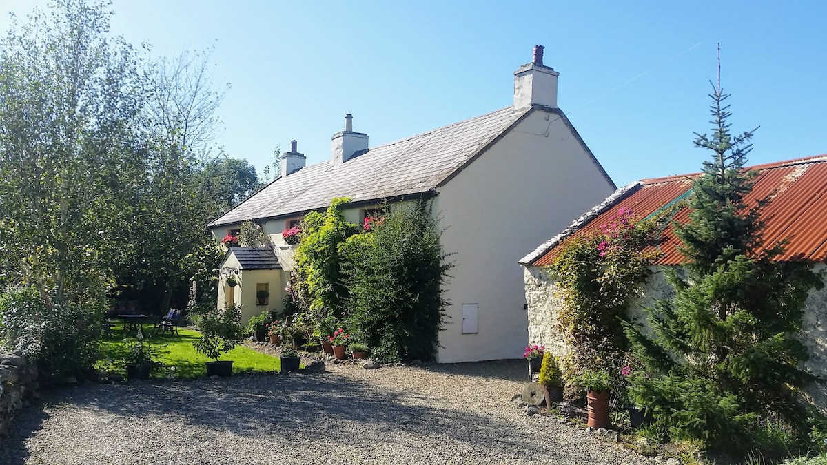 LismangeruFairy fort / earthen ringfort · 1145 yd
 Kilmichael Monumentmonument · 1.3 mi
 Kilmichael Ambush SiteMonument · 1.4 mi
 Kilmichael Ambushambush · 1.4 mi
 CastlemastersCountry house · 1.7 mi
 Carrignacurra CastleCastle · 1.8 mi
 Castle (Site of)Castle, unclassified · 2.1 mi
 Port Ban Nature Reserve, Irish Wildlife TrustNature reserve · 3.6 mi
 Gortnahoughtee Mass RockNamed rock · 4.0 mi
 Mount ProspectMountain / peak · 4.8 mi
 The Gearagh Nature ReserveNature reserve · 5.0 mi