What is recorded here
Fairy fort / earthen ringfort in Gorteen OR Gorteenaterriff: visible in aerial imagery and field observation.
Raised circular area (int. diam. 28.3m) enclosed by a very substantial earthen bank and a deep, partly waterlogged fosse. Break in bank with accompanying causeway at S represents original entrance.
The above description is derived from the published 'Archaeological Inventory of County Cavan' (Dublin: Stationery Office, 1995). In certain instances the entries have been revised and updated in the light of recent research.
Date of upload/revision: 22 December 2008
The monument record does not grant public access. Check the route and ask the landowner before entering private land.
- What survives
- Recorded monument
Places near here
 Bawn in CastlepolesBawn · 820 yd
 CastlepolesMountain / peak · 1219 yd
 Bruse HillMountain / peak · 1748 yd
 CloghmoreArchaeological place · 1.2 mi
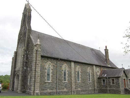 Church of the Immaculate Conceptionchurch/chapel · 1.4 mi
 Pottle WoodlandWood · 1.6 mi
 IndicatedFairy fort / earthen ringfort · 1.6 mi
 Dingins Bridgebridge · 1.6 mi
 Lisraherty Bog WoodlandWood · 1.8 mi
 Red IslandIslet · 2.1 mi
 Cornafean GFCMemorial · 2.6 mi
 White IslandIslet · 2.9 mi