What is recorded here
Fairy fort in Gorteen is a 32-metre stone ring on a south-east slope, marked by a causewayed entrance and a field wall that cuts through its outer bank. It is the kind of place where human hands and fairy story become hard to separate, because the stones still shape a complete circle while the land around has changed. Whoever built it made a boundary you could walk into, not merely a hole dug for roots or stones. The name does not dismiss that fact; it records that the shape still behaves like a threshold.
Situated on SE facing slope of rising ground in upland area. Raised circular area (diam 32m N-S) enclosed by poorly preserved bank (Wth 1.5m; ext. H 1.7m), wide flat bottomed fosse (Wth 3.5m; ext. D 0.7m) and external bank (Wth 1m; ext. H 0.4m) of mainly stone construction. Causewayed entrance (Wth 3.8m) at SW. Stone wall intersects external bank at S where it acts as part of a field boundary.
The above description is derived from the published 'Archaeological Inventory of County Offaly' (Dublin: Stationery Office, 1997). In certain instances the entries have been revised and updated in the light of recent research.
Date of upload: 23 May 2011
The monument record does not grant public access. Check the route and ask the landowner before entering private land.
- What survives
- Recorded monument
Places near here
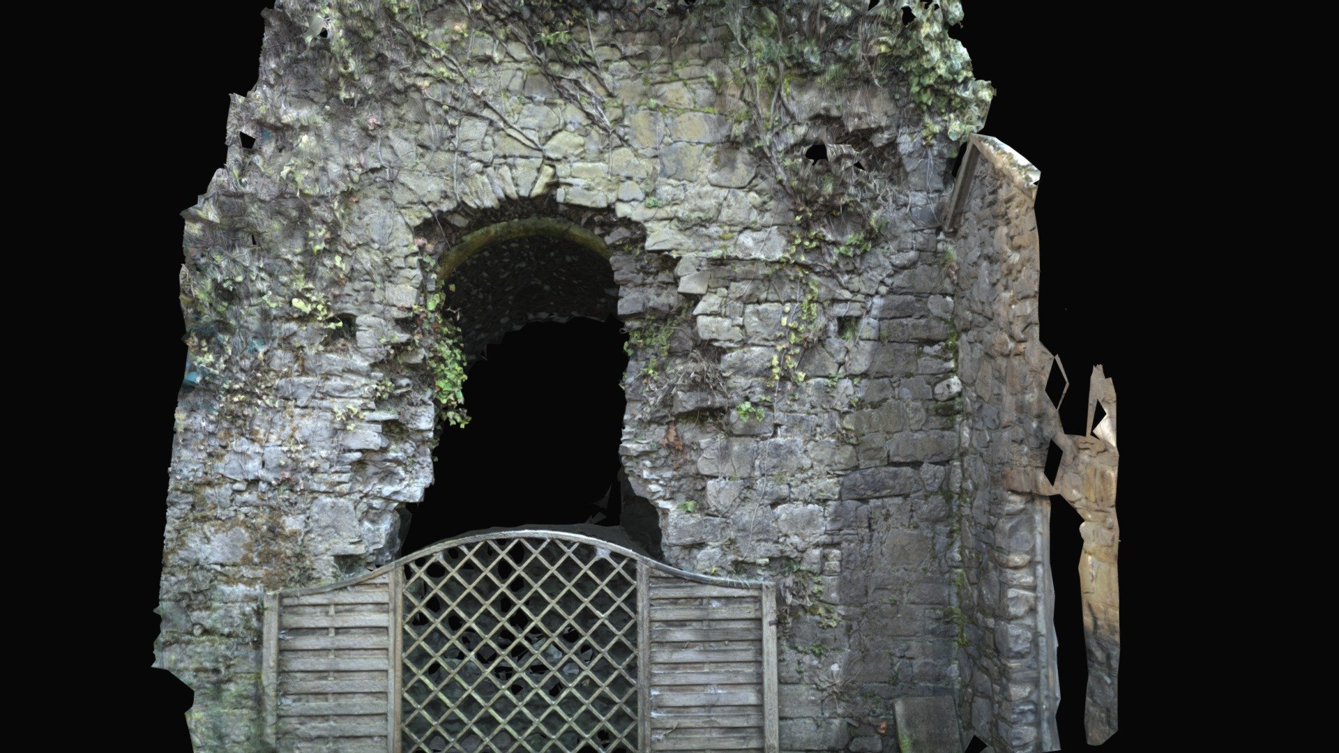 Enclosure in Keeloge (ballybrit By.)Enclosure · 506 yd
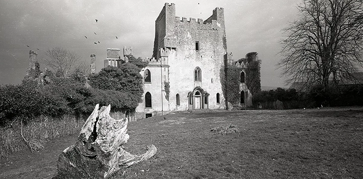 Man-made underground passage in Gorraun (ballybrit By.)Man-made underground passage · 901 yd
 IndicatedKiln, lime · 1092 yd
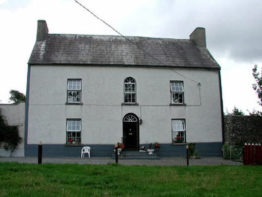 Summerhill Housefarm house · 1620 yd
 CastleCastle, ringwork · 1.5 mi
 Saint Kieran's WellSpring · 1.5 mi
 Ballaghmore CastleCastle, tower house · 2.3 mi
 Millennium GardenMemorial · 2.6 mi
 FarbreagueMountain / peak · 2.9 mi
 European YewEuropean Yew · 2.9 mi
 European BeechEuropean Beech · 3.0 mi
 Roscrea Petty Sessions HouseHeritage attraction · 3.6 mi