What is recorded here
Fairy forts like Gorteanish marked busy neighbourhoods where people herded, traded and argued long before written records. The broken bank and silted ditch suggest a place abandoned rather than destroyed, perhaps dumped by humans when life moved elsewhere. Folk memory may have filled the vacancy with fairy claims, warning people to leave the ring alone.
In pasture, on N-facing slope. Roughly circular area (23.1m N-S; 25m E-W) enclosed by earthen bank (H 1.2m) SE->N, stone faced in parts; scarp (H 0.6m) elsewhere. External fosse silted up. Bank broken to SW and NW.
The above description is derived from the published 'Archaeological Inventory of County Cork. Volume 1: West Cork' (Dublin: Stationery Office, 1992). In certain instances the entries have been revised and updated in the light of recent research.
Date of upload/revision: 14 January 2009
The monument record does not grant public access. Check the route and ask the landowner before entering private land.
- What survives
- Recorded monument
Places near here
 Burial ground in ArdanenigBurial ground · 240 yd
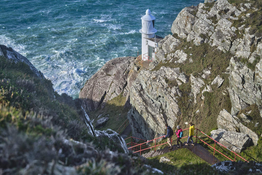 Barán LoopWalking route · 666 yd
 Sheep's Head - Mass PathWalking route · 886 yd
 Boulder-burial in GorteanishBoulder-burial · 929 yd
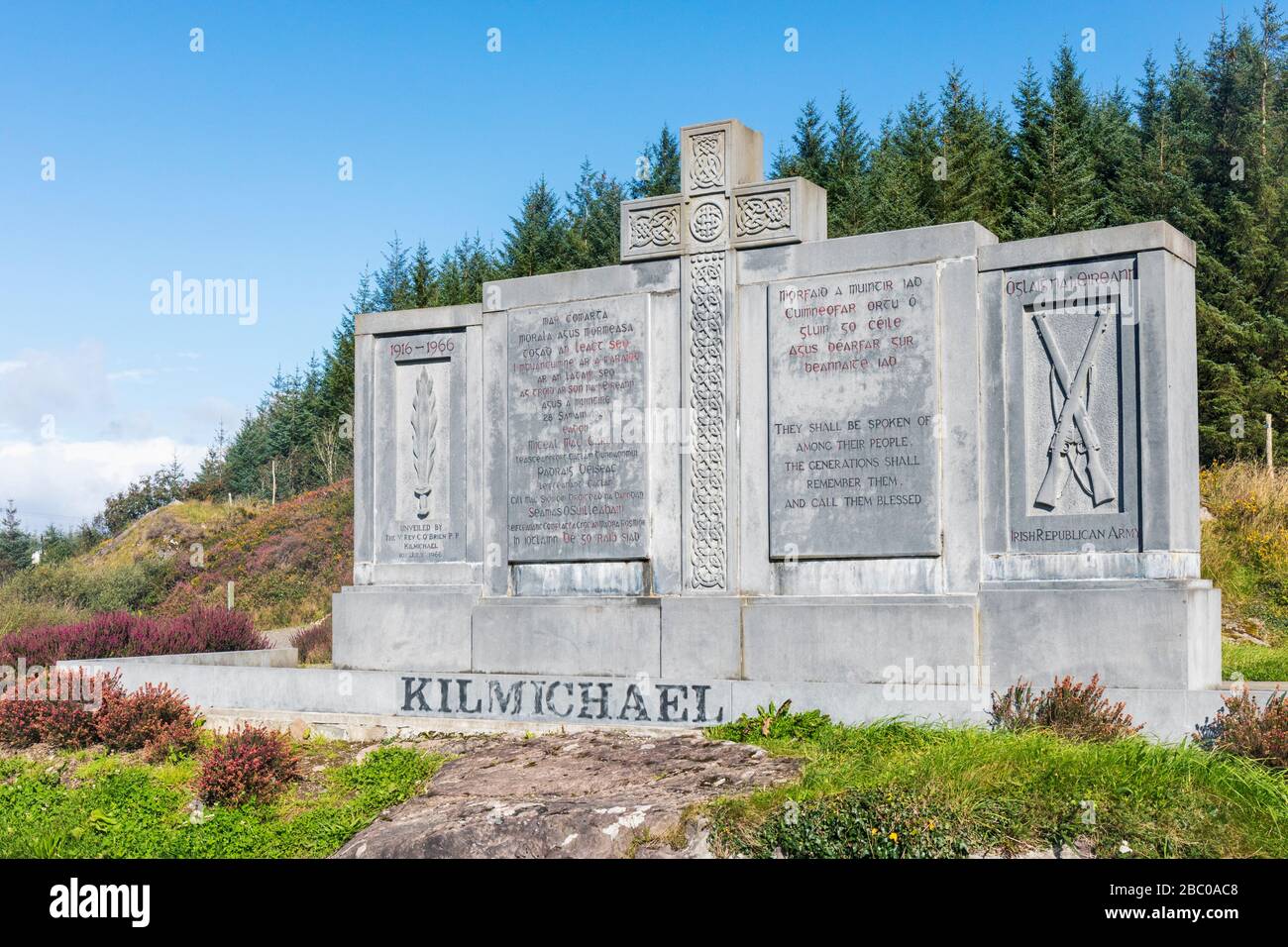 Tom Whitty memorialMemorial · 1052 yd
 Ahakista Barpublic house · 1273 yd
 Ahakista Bridgebridge · 1362 yd
 Rosskerrig MountainMountain / peak · 1720 yd
 Owen's IslandIslet · 1.2 mi
 Air India Flight 182 Crash MemorialMemorial · 1.3 mi
 GouladaneMountain / peak · 1.3 mi
 Stone RowHeritage attraction · 2.3 mi