What is recorded here
Fairy fort in Gortduff, County Galway: a worn earthen ring, 26 metres north to south and 24 east to west, on an open grassy rise. Its south bank has been taken for stone or soil, yet the name still treats the place as a dwelling rather than a ruin. People may have lived there, or the land may have kept the shape of a lost house. Either way, the ring still marks the ground like a remembered address.
On a rise in undulating grassland. Poorly preserved subcircular ringfort (N-S 26m, E-W 24m) defined by an earthen bank with traces of inner stone-facing at N. The bank has been quarried out at S and several modern gaps are present.
The above description is derived from the published 'Archaeological Inventory of County Galway Vol. II - North Galway'. Compiled by Olive Alcock, Kathy de hÓra and Paul Gosling (Dublin: Stationery Office, 1999).
Date of upload: 05 August 2010
The monument record does not grant public access. Check the route and ask the landowner before entering private land.
- What survives
- Recorded monument
Places near here
 IndicatedFairy fort / earthen ringfort · 772 yd
 Crannog in Beagh (ballymoe By.)Crannog · 1226 yd
 Catholic Church of Christ the Kingchurch/chapel · 1.7 mi
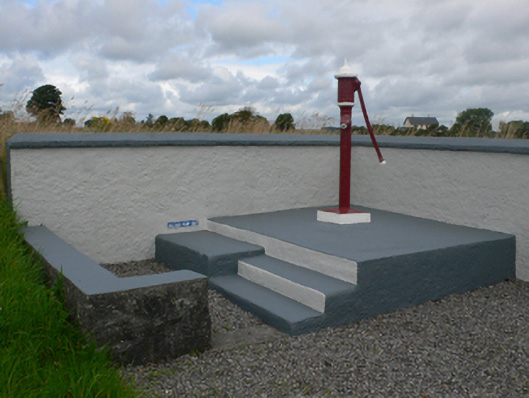 water pumpwater pump · 1.8 mi
 Slieve DartMountain / peak · 2.4 mi
 Castle in ruinsCastle, unclassified · 2.4 mi
 CastleCastle, unclassified · 2.6 mi
 Rook HillMountain / peak · 4.6 mi
 Site of Killomaine Grave YardArchaeological place · 8.3 mi
 European ashEuropean ash · 14 mi
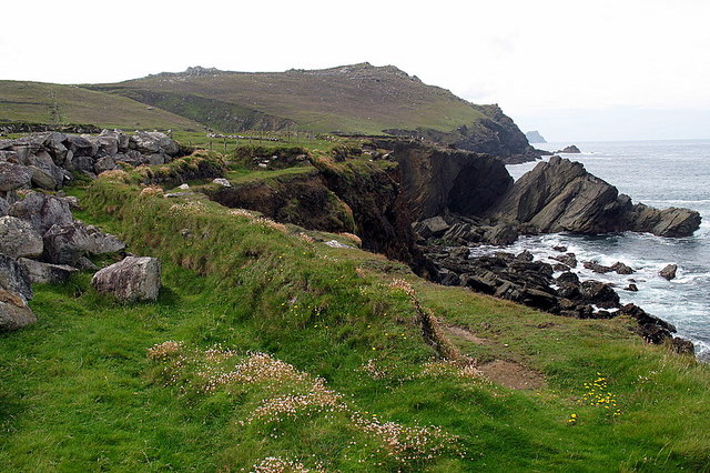 Enclosure in Clogher LowerEnclosure · 1598 yd
 ShrineAltar · 1614 yd