What is recorded here
Fairy fort in Gortbrack (carbery West (e.d) By.) is an earthen ringfort in County Cork, Ireland. It occupies a narrow oval in rough pasture on a north-facing slope, with a low bank, a cut upslope, a scarp downslope, and a stone wall edge inside. A rectangular feature once marked at its centre has disappeared under growth, leaving the place half-hidden and alive to imagination.
In rough pasture, on N-facing slope. Oval area (25m N-S; 28m E-W) definedby low earthen bank NNE->E (H 0.65m); cut into upslope to S (H 1m); scarp to N on downslope (H 1m). Stone wall edge of interior on W side. Rectangular structure at centre of interior on OS 6-inch map (1900); not visible due to overgrowth.
The above description is derived from the published 'Archaeological Inventory of County Cork. Volume 1: West Cork' (Dublin: Stationery Office, 1992). In certain instances the entries have been revised and updated in the light of recent research.
Date of upload/revision: 14 January 2009
The monument record does not grant public access. Check the route and ask the landowner before entering private land.
- What survives
- Recorded monument
Places near here
 Fulacht fia in GurranesFulacht fia · 423 yd
 IndicatedFairy fort / stone ringfort · 433 yd
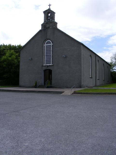 St. Barrahane's Roman Catholic Churchchurch/chapel · 509 yd
 Castletownsend National Schoolschool · 599 yd
 Carraig ThrounceMountain / peak · 1169 yd
 Gleann BearcháinWood · 1195 yd
 Castlehaven StrandBeach / strand · 1231 yd
 West Cork Quad AdventuresHeritage attraction · 1268 yd
 Placenames & Their Amazing StoriesHeritage attraction · 1281 yd
 Castlehaven CastleCastle · 1286 yd
 Carraig a' ShleáinMountain / peak · 1288 yd
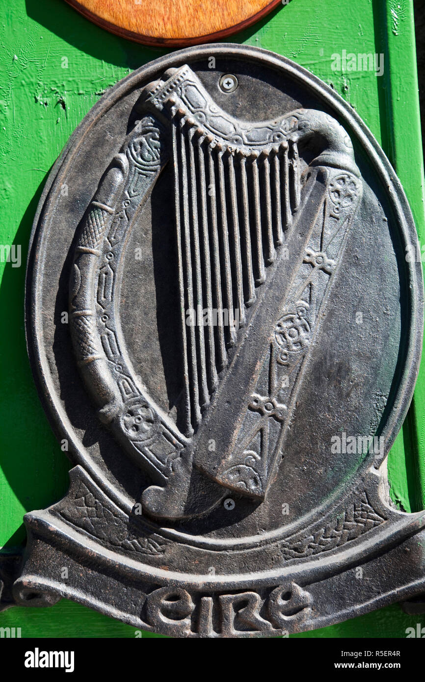 The Irish RM PlaqueMemorial · 1483 yd