What is recorded here
In pasture, straddling the narrow top of a steep-sided N–S ridge. It is located just to S of the highest point of the ridge. The E slope of the ridge is very steep, with the fall of ground beginning 6m E of the rath, dropping to an area of damp ground. The location provides panoramic views.
Raised circular area (c. 25.3m E–W; 22.4m N–S) enclosed by an earthen bank with an external fosse. The bank (Wth 4.8-5m; int. H 0.2-0.35m; ext. H 1.8m) is built of gravelly earth. It has a low internal rim but a pronounced compact external slope. There are several narrow eroded breaks, at N, NE and SSW. A wider break (Wth 1.4m) at SE coincides with the lowest section of the bank, and may mark an original entrance. Some large stone and boulders occur at this gap and along the inner face of the bank in this area, but it is unclear if they are an original feature –some appear to be loose field clearance stones. The fosse is clearly defined only at N (Wth 3m; D 0.4m), elsewhere around the circuit it is evident as a slight depression (Wth 1.5-2m).
In the E half of the interior, a low stony scarp curving NNE–SSW, with hazel trees growing along its edge, marks a drop in ground level and a slight slope down to E and SE. The perimeter is ringed with hawthorn and hazel. Another rath (MA039-091----) is located c. 200m to W at the base of the ridge.
Compiled by: Jane O’Shaughnessy
Date of upload: 1 April 2020
The monument record does not grant public access. Check the route and ask the landowner before entering private land.
- What survives
- Recorded monument
Places near here
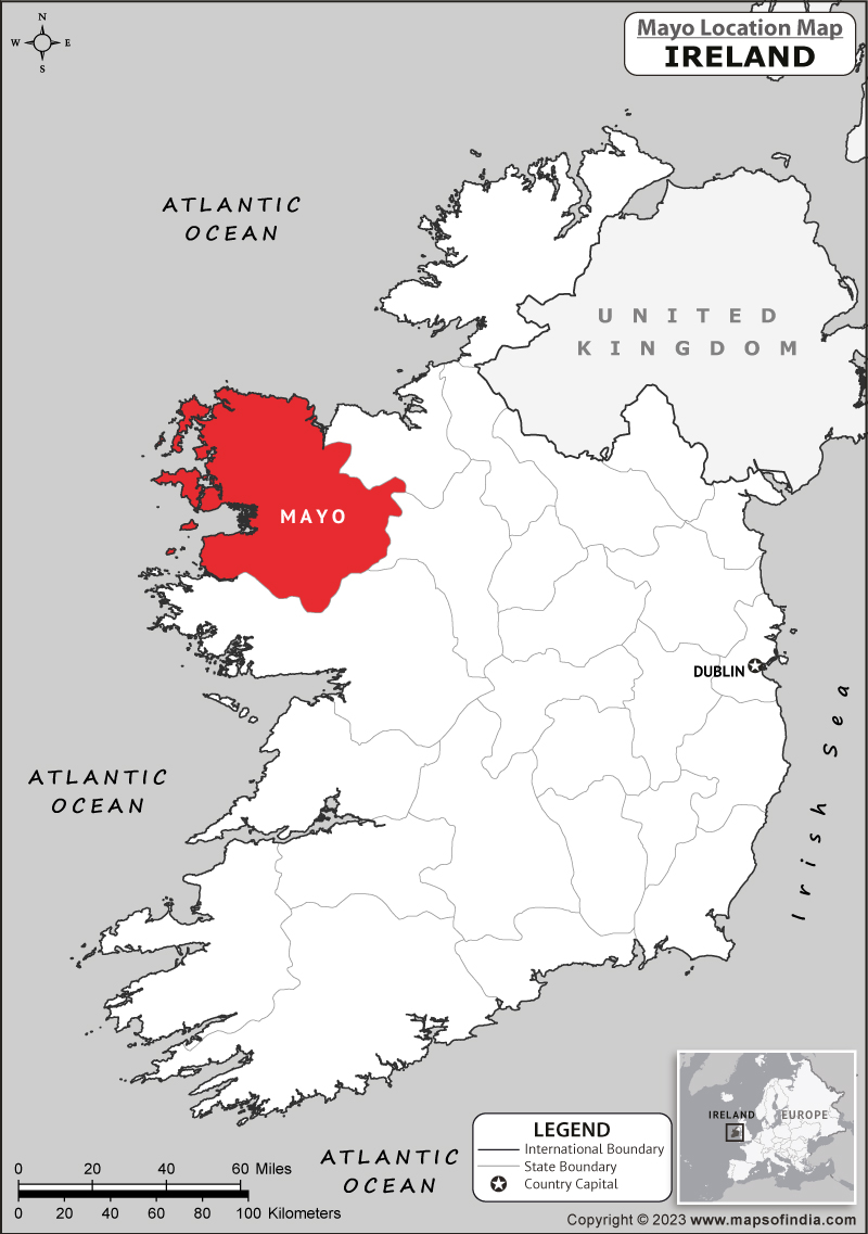 IndicatedFairy fort / earthen ringfort · 253 yd
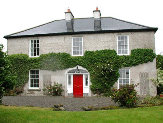 Barnfield Housefarm house · 696 yd
 Enclosure in CorroyEnclosure · 867 yd
 Gull IslandIslet · 1467 yd
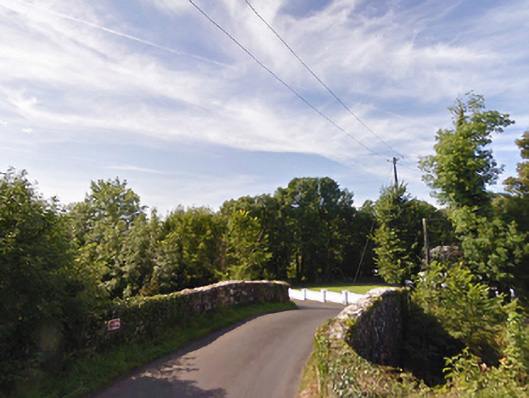 bridgebridge · 1724 yd
 Castle (in ruins)Castle, unclassified · 1.1 mi
 Cloghans CastleCastle, tower house · 1.2 mi
 Roe IslandIslet · 4.1 mi
 Battle of Ballinabattle · 4.2 miHumbert MonumentMemorial · 4.3 mi
 Drummin ForestForest · 4.8 mi
 Lough CullinViewpoint · 4.9 mi