What is recorded here
Jer. O'Callaghan levelled the fort in 1905, erasing a circular enclosure that had stood in Lios Field since before the 1842 map marked its walls. The earth swallowed the rampart, but the field kept its name, a ghost of shape pastured under grass. What was removed is still there, waiting in the soil for someone to stop measuring and start listening.
In level pasture. Depicted as hachured circular enclosure (diam. c. 25m) on 1842 OS 6-inch map. Levelled; no visible surface trace. May be levelled single-ramparted fort (diam. c. 26yd) recorded by Bowman (1934, 304) on P. Sugrue's land; described by Broker (1937, 52) as in 'Lios Field' on Pat Sugrue's land but levelled in 1905 by Jer. O'Callaghan.
The above description is derived from the published 'Archaeological Inventory of County Cork. Volume 4: North Cork' (Dublin: Stationery Office, 2000). In certain instances the entries have been revised and updated in the light of recent research.
Date of upload/revision: 14 January 2009
The monument record does not grant public access. Check the route and ask the landowner before entering private land.
- What survives
- Recorded monument
Places near here
 Flintfield Housecountry house · 866 yd
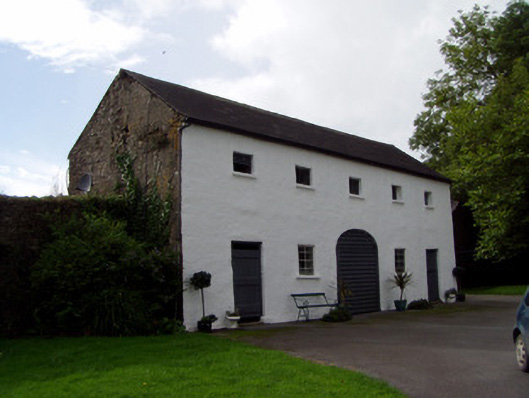 Keale Housefarmyard complex · 1653 yd
 Dromsicane Castle (in Ruins)Bawn · 1.1 mi
 Fulacht fia in Drishane Beg (muskerry West By.)Fulacht fia · 1.1 mi
 Church (Site of)Church · 1.1 mi
 Castle and TurretCastle, tower house · 1.2 mi
 Millstreet Tourist InformationVisitor information · 2.6 mi
 St. Patrick's ChurchVisitor information · 2.6 mi
 Rathcool WoodWood · 2.6 mi
 Millstreet Museum & Tourist Information CentreMuseum · 2.6 mi
 RowanRowan · 3.4 mi
 Battle of Knocknaclashybattle · 3.8 mi