What is recorded here
Situated on a slight rise in low lying, gently undulating wet pasture. Slightly raised circular area (dims. 19m N-S; 18m E-W) enclosed by a bank of earth (Wth 4.4m; int. H 0.3m). No fosse visible. The bank encloses the site on all sides is densely overgrown with gorse. Original entrance not recognisable.
Compiled by: Patrick F. O'Donovan
Date of upload: 21 April 2011
The monument record does not grant public access. Check the route and ask the landowner before entering private land.
- What survives
- Recorded monument
Places near here
 Enclosure in RathfraskEnclosure · 595 yd
 RathhughFairy fort / earthen ringfort · 1100 yd
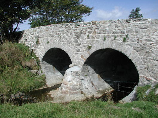 bridgebridge · 1336 yd
 Church (in Ruins)Church · 1477 yd
 CastleCastle, unclassified · 2.0 mi
 BenwiskinMountain / peak · 2.0 mi
 BenbulbenMountain · 2.1 mi
 Benwiskin South TopMountain / peak · 2.1 mi
 InishnagorIslet · 2.3 mi
 Connors IslandIsland · 2.4 mi
 Dermot & Grania's BedCave · 2.6 mi
 Atlantic SheepdogsHeritage attraction · 2.8 mi