What is recorded here
Clear scrub in 1991, the fairy fort in Gort appeared as a wide band of reed and rush around a hidden circular area. By 2000 the overgrowth had gone, exposing a twenty-five-metre interior and a broad fosse on a low rise. The entrance still resists identification, leaving the ring less like a recorded boundary than a living shape that keeps part of itself from being known.
Located towards the top of a low rise. This was described in 1991 (SMR file) as a scrub-covered circular area (diam. 36m) defined by a band of lush reed and rush growth (Wth 2-6m), but the original entrance was not recognised. The overgrowth had been removed by 2000 (OSAP), and it can be seen as a circular area (int. diam. c. 25m) defined by a wide fosse (Wth c. 4-8m) on some later series (OSAP: 2012; Google Earth 01/03/2010; 16/06/2014; 24/03/2017).
The above description is derived from 'The Archaeological Inventory of County Leitrim' compiled by Michael J. Moore (Dublin: Stationery Office, 2003). In certain instances the entries have been revised and updated in the light of recent research.
Compiled by: Michael Moore
Date of revised upload: 17 October 2019
The monument record does not grant public access. Check the route and ask the landowner before entering private land.
- What survives
- Recorded monument
Places near here
 Fairy fort / earthen ringfort in AdereenFairy fort / earthen ringfort · 769 yd
 Kilbride Church (in Ruins)Church · 1364 yd
 Enclosure in JamestownEnclosure · 1397 yd
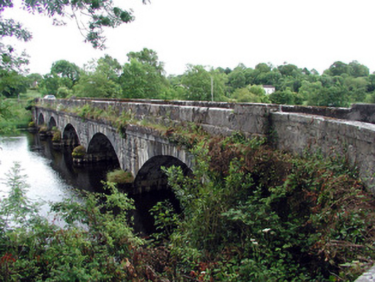 Jamestown Bridgebridge · 1683 yd
 Patrick Gill Memorial Plaque (IRA)Monument · 1.8 mi
 Wildlife AreaNature reserve · 1.8 mi
 Site of Dangan CastleCastle, unclassified · 1.8 mi
 Robert Strawbridge MemorialMemorial · 1.8 mi
 Moon RiverHeritage attraction · 2.5 mi
 CastlecarraCastle, unclassified · 2.7 mi
 Mullinashee WoodForest · 3.3 mi
 InishmoylinIslet · 4.2 mi