What is recorded here
No visible fort remains at Gorraun, only a hidden circular enclosure beneath dense vegetation on an east-facing slope. The 1912 map drew it beside a larger enclosure to the west, while people called it a fairy fort because the land seemed to keep its own shape from ordinary sight. It may have been a dwelling, a boundary marker or a forgotten ritual place, but the missing wall and crowded green suggest the earth still withholds what it once gave up.
Site inaccessible at time of visit due to dense vegetation, located on the E facing slope of rising ground. Depicted on 1912 edition of OS 6-inch map as small circular enclosure with large enclosure (OF043-045001-) immediately to the W.
Monument placed on the Register of Historic Monuments on the 18 May 1977.
The above description is derived from the published 'Archaeological Inventory of County Offaly' (Dublin: Stationery Office, 1997). In certain instances the entries have been revised and updated in the light of recent research.
Date of upload: 23 May 2011
The monument record does not grant public access. Check the route and ask the landowner before entering private land.
- What survives
- Recorded monument
Places near here
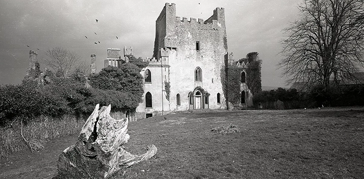 Man-made underground passage in Gorraun (ballybrit By.)Man-made underground passage · 1 yd
 Enclosure in Gorteen (ballybrit By., Gorteen Ed)Enclosure · 886 yd
 IndicatedKiln, lime · 1099 yd
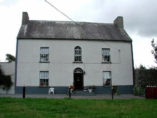 Summerhill Housefarm house · 1318 yd
 CastleCastle, ringwork · 1.5 mi
 Saint Kieran's WellSpring · 1.9 mi
 Ballybritt CastleCastle, tower house · 2.0 mi
 Millennium GardenMemorial · 2.7 mi
 FarbreagueMountain / peak · 2.7 mi
 European YewEuropean Yew · 3.2 mi
 European ashEuropean ash · 3.3 mi
 Golden Grove HillMountain / peak · 3.5 mi