What is recorded here
Half a kilometre of forgotten road leads to a shallow dish of grass where a man could still stand inside the wall. The earth rises four feet on the north side, thins to a knife-edge on the south, and a narrow entrance cuts through like a door left open. Rain fills the outer ditch, marks the old line, and carries the smell of wet soil into the valley. What was kept there has gone, but the shape remains: a small defensible place, made by hands, abandoned to grass, and still easy to picture at a glance.
Located toward the bottom of a SW-facing slope. This is a subcircular grass and scrub-covered area (dims 59m NE-SW; 48m NW-SE) that slopes down steeply to the SW (H 5.5m). It is defined by an overgrown earthen bank (at NE: Wth at base 4m; int. H 1.4m; ext. H 1.4m) that is reduced to a scarp (Wth 2.5m; H 1.5m) SE-SW, and an external fosse (at NE: Wth of top 4.5m; Wth of base 2m; ext. D 0.5m) NW-N-SE. There is a ramp entrance (Wth of base 2m) at SE.
The above description is derived from the published 'Archaeological Inventory of County Meath' (Dublin: Stationery Office, 1987). In certain instances the entries have been revised and updated in the light of recent research.
Compiled by: Michael Moore
Date of revision: 3 September 2018
Amended: 14 December 2022
The monument record does not grant public access. Check the route and ask the landowner before entering private land.
- What survives
- Recorded monument
Places near here
 Tullyarran FortFairy fort / earthen ringfort · 983 yd
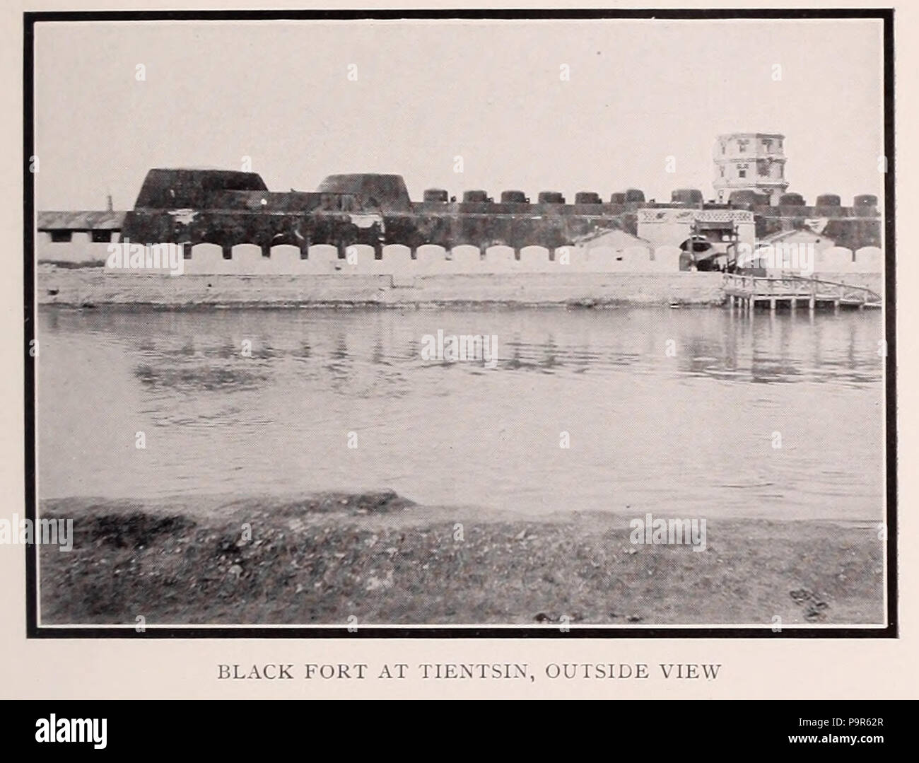 Black FortFairy fort / earthen ringfort · 1208 yd
 CastleCastle, tower house · 1.1 mi
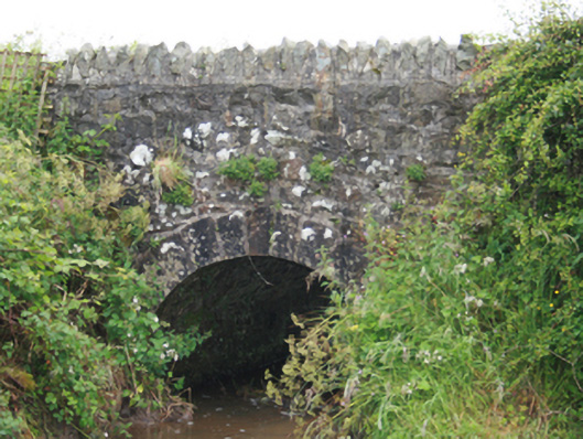 County Bridgebridge · 1.7 mi
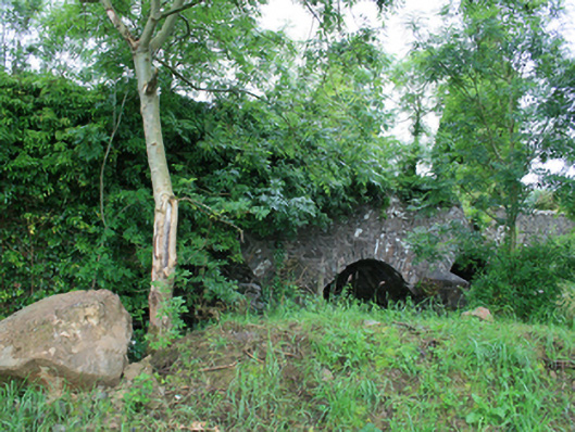 Skearke Bridgebridge · 1.8 mi
 Sit of Old CastleCastle, unclassified · 1.9 mi
 TeevurcherMountain / peak · 2.3 mi
 Blackhills LowerMountain / peak · 2.6 mi
 Tullynaskeagh EastForest · 2.8 mi
 Tullynaskeagh WestForest · 3.2 mi
 Sally IslandIslet · 3.3 mi
 Crow IslandIslet · 3.4 mi