What is recorded here
Half a metre of soil and a knife-edge of scarped earth mark the last outline of a home that once held lives, fires and fears. The fairies took the walls or the fields swallowed them, but the oval remains, twenty metres long in good pasture, waiting for someone to remember what it kept.
The single-ringed enclosure shown on the 2nd edition of the OS 6-inch map is now represented by an oval area c. 10m N-S and c. 20m E-W defined by an earthen bank, .5m high on the NW, field boundaries on the W and NE and a scarped edge .3m high on the S. The site is located on a gentle NW to SE slope in good pasture.
The above description was derived from the 'Archaeological Survey of County Donegal. A description of the field antiquities of the County from the Mesolithic Period to the 17th century.' Compiled by: Brian Lacey with Eamon Cody, Claire Cotter, Judy Cuppage, Noel Dunne, Vincent Hurley, Celie O'Rahilly, Paul Walsh and Seán Ó Nualláin (Lifford: Donegal County Council, 1983). In certain instances the entries have been revised and updated.
Date of upload: 22 September 2008
The monument record does not grant public access. Check the route and ask the landowner before entering private land.
- What survives
- Recorded monument
Places near here
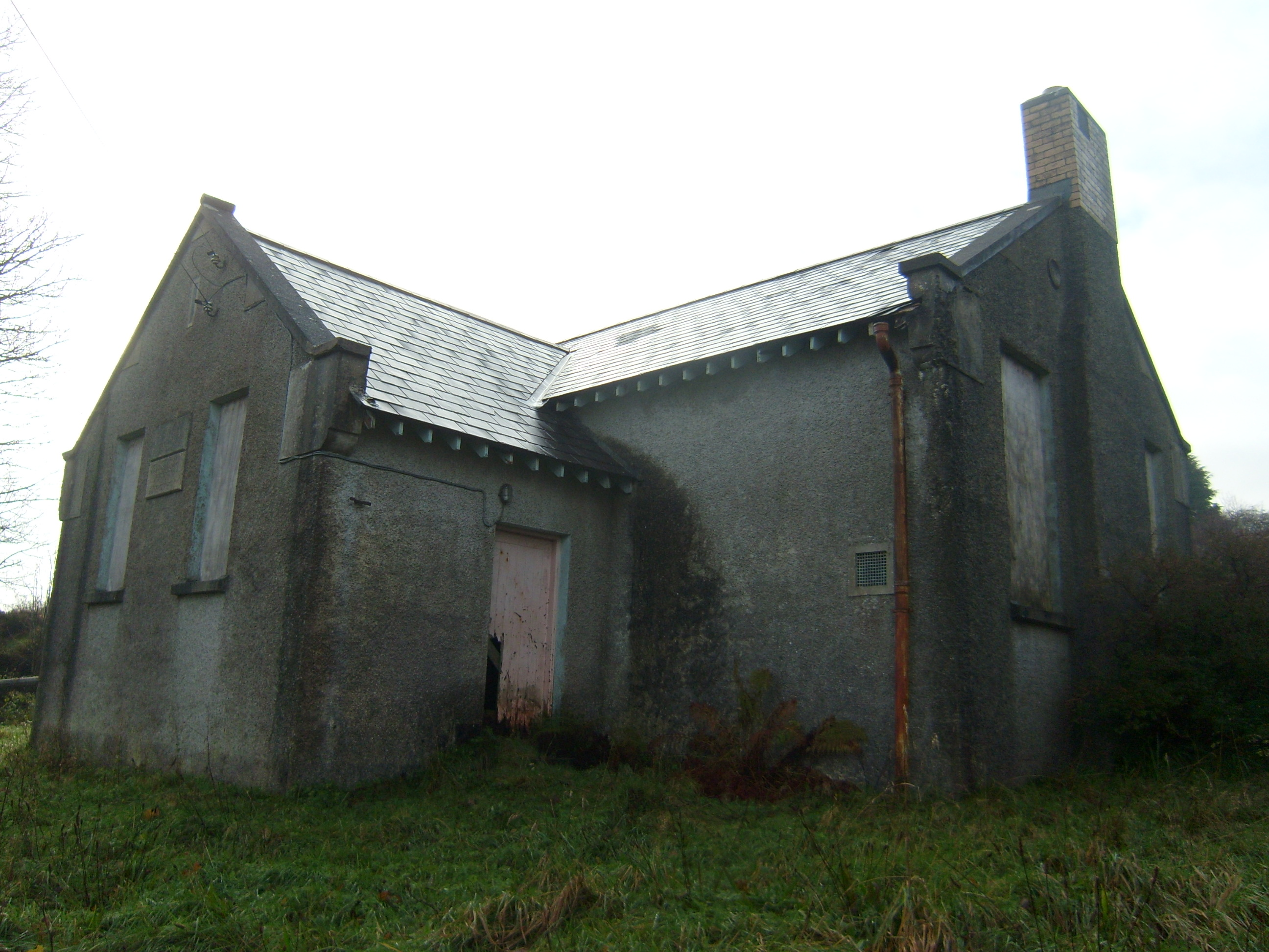 Carrownaganonagh National Schoolschool · 1023 yd
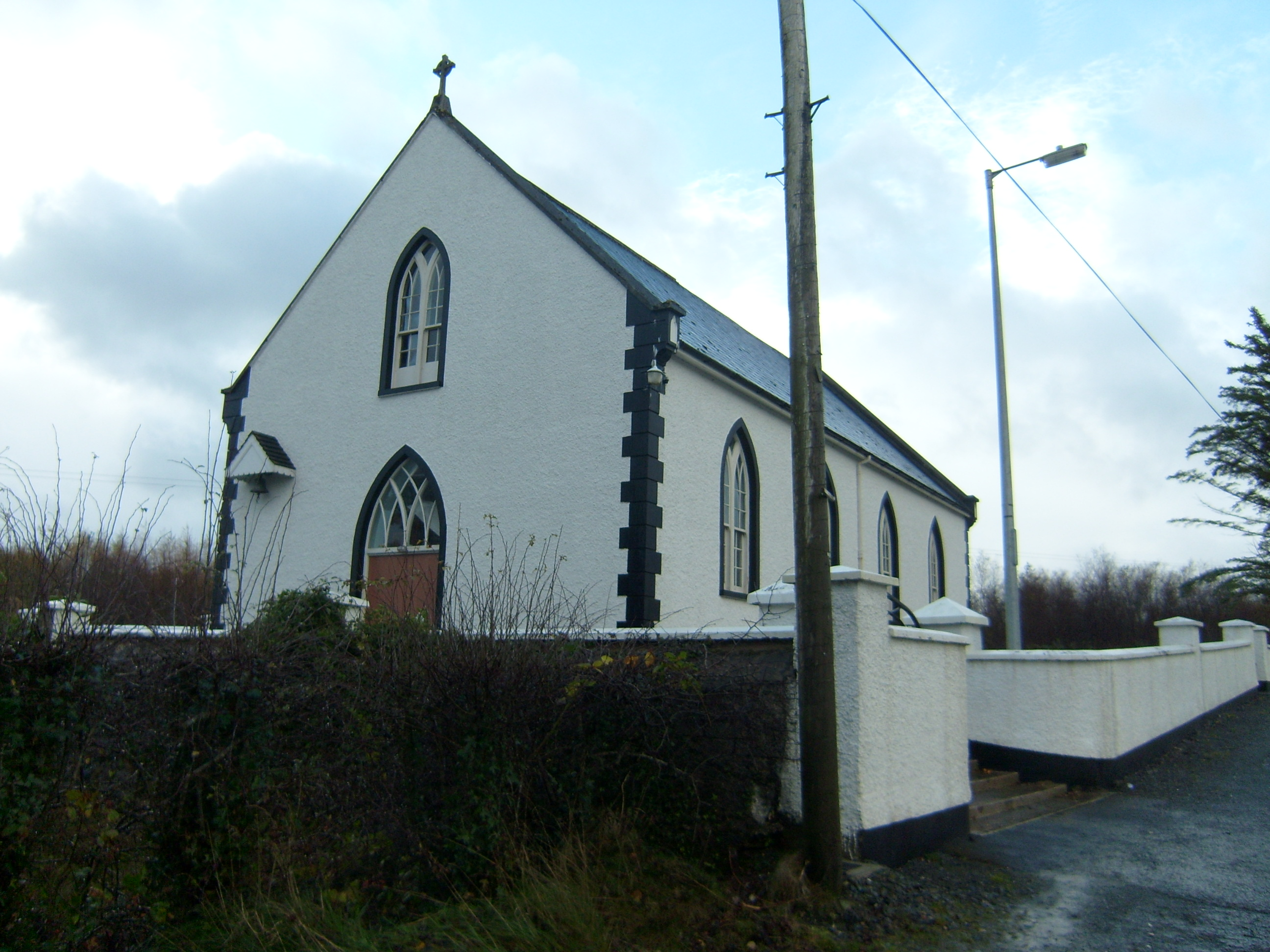 Saint Brigid's Catholic Churchchurch/chapel · 1126 yd
 Cratlagh Earthen RingfortFairy fort / earthen ringfort · 1.3 mi
 Loughsalt MountainMountain / peak · 1.7 mi
 Aghawoney Standing StonesPublicly named standing stone · 2.0 mi
 WoodquarterForest recreation place · 3.3 mi
 Castle (Site of)Castle, unclassified · 3.5 mi
 Rough IslandIslet · 3.7 mi
 Ballyarr Nature ReserveNational nature reserve · 4.0 mi
 Cranberry IslandIslet · 4.2 mi
 Bawn in RathmeltonBawn · 5.2 mi
 Tullyaughnish Old Church GraveyardGraveyard · 5.2 mi