What is recorded here
Ancestral memory and human innovation both leave visible marks. The chamber is a collision of instincts, not a chamber of one kind. The chamber is a collision of instincts, not a chamber of one kind. The chamber is a collision of instincts, not a chamber of one kind. The chamber is a collision of instincts, not a chamber of one kind. The chamber is a collision of instincts, not a chamber of one kind. The chamber is a collision of instincts, not a chamber of one kind. The chamber is a collision of instincts, not a chamber of one kind. The chamber is a collision of instincts, not a chamber of one kind. The chamber is a collision of instincts, not a chamber of one kind. The chamber is a collision of instincts, not
Raised circular area (int. diam. c. 62m) enclosed by a wide, low bank from WSW-N. From N-E the site is bounded by a tributary of the Upper Inny River and has been much defaced as a consequence of river drainage works. From E-S-WSW the perimeter has been levelled but its outline is still identifiable. Original entrance not recognisable. Internal area is divided into two unequal portions by a field boundary running ESE-WSW.
The above description is derived from the published 'Archaeological Inventory of County Cavan' (Dublin: Stationery Office, 1995). In certain instances the entries have been revised and updated in the light of recent research.
Date of upload/revision: 22 December 2008
The monument record does not grant public access. Check the route and ask the landowner before entering private land.
- What survives
- Recorded monument
Places near here
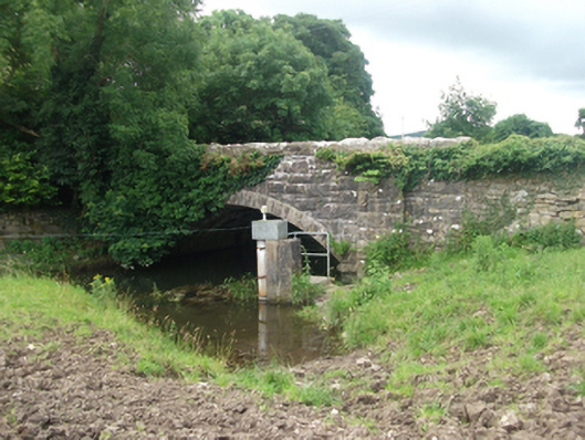 Ballinrink Bridgebridge · 402 yd
 EnclosureEnclosure, large enclosure · 1411 yd
 IndicatedFairy fort / earthen ringfort · 1459 yd
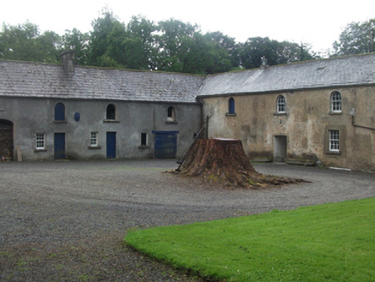 Farren Connellstables · 1.2 mi
 Bob's GroveForest · 1.3 mi
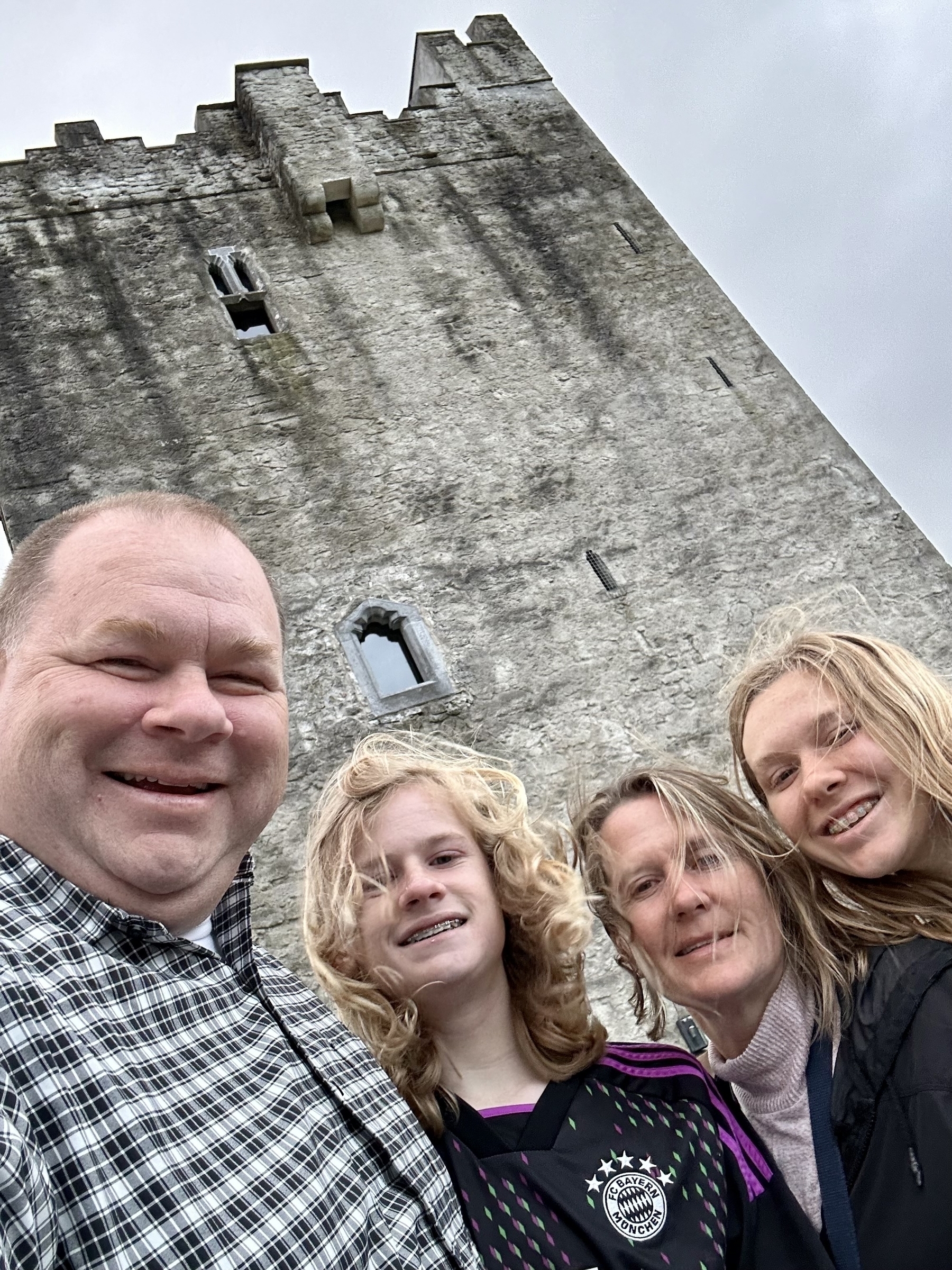 CastleCastle, unclassified · 1.3 mi
 MullaghmeenMountain / peak · 1.6 mi
 The MoatCastle, motte and bailey · 1.7 mi
 Mullaghmeen White WalkWalking route · 1.7 mi
 Mullaghmeen Red WalkWalking route · 1.7 mi
 European BeechEuropean Beech · 1.8 mi
 Mullaghmeen ForestPicnic place · 1.9 mi