What is recorded here
Marianne and Ciaran walked a narrow dirt track beside a shallow river while red rowan berries dotted the hillside. They reached a grassy field where a low stone wall formed a complete circle around an empty space. Marianne touched a smooth stone while Ciaran listened for water moving under the soil. Neither claimed to know the purpose of the circle, but both remembered the quiet size of the place long after they left.
Internal diameter 25.4m N-S, 29m E-W
This univallate ringfort is situated in low-lying boggy land and is very overgrown. The site consists of a circular area enclosed by a well-defined bank of earth and stone and an external fosse. The height of the bank rises to 1.8m above the fosse and .8m above the interior. The entrance may have been to the S and is stone lined. The enclosing fosse is .75m-3m wide and c .7m below the height of the surrounding land. Immediately SSW of this ringfort lies a possible rectangular bawn (KE005-081002-), which is 27m x 18.6m and .4m high.
The above description is derived from C. Toal, ‘North Kerry Archaeological Survey’. Dingle. Brandon in association with FAS Training and Employment Authority (1995), no. 278. In certain instances the entries have been revised and updated in the light of recent research.
Date of upload: 2 August 2013
The monument record does not grant public access. Check the route and ask the landowner before entering private land.
- What survives
- Recorded monument
Places near here
 Bawn in GlouriaBawn · 62 yd
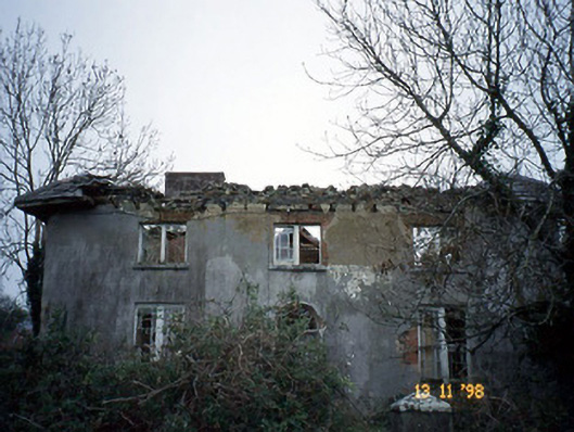 Coolardhouse · 1091 yd
 St Bartholomews WellHoly well · 1395 yd
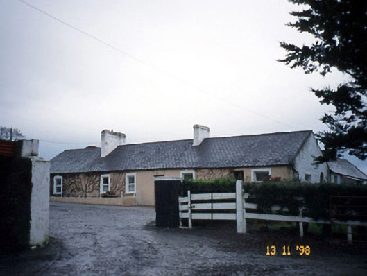 Gunsboroughfarmyard complex · 1455 yd
 ToberboyHoly well · 1576 yd
 Bawn in BallydonohoeBawn · 1617 yd
 Lartigue MonorailMuseum · 3.3 mi
 John B. Keane GroveMemorial · 3.4 mi
 Kerry Writers' MuseumMuseum · 3.7 mi
 Bryan MacMahonMemorial · 3.7 mi
 KnockanoreMountain / peak · 3.8 mi
 Men's BeachBeach / strand · 6.0 mi