What is recorded here
In pasture, on upper edge of E-facing slope. Circular area (dims. 22m N-S; 23m E-W) defined by earthen scarp (Wth 4.5m; H 1.95m), breached (Wth 4m) at SE. Fosse (Wth 6.5m; D 0.5m) is inaccessible in places due to vegetation cover. External bank (Wth 10m; int. H 0.5m; ext. H 0.7m) tilts gently inwards on top toward fosse and is incorporated into 20th century field boundary SSE-S-SSW. Breach (Wth 10m) at ESE as depicted on latest edition OS 6-inch map. Interior level and grass covered with numerous thorn trees. Ringforts (TS069-013---- and TS069-015----) are c. 140m to WSW and 265m to NE respectively.
Compiled by: Jean Farrelly
Date of upload: 26 August 2011
The monument record does not grant public access. Check the route and ask the landowner before entering private land.
- What survives
- Recorded monument
Places near here
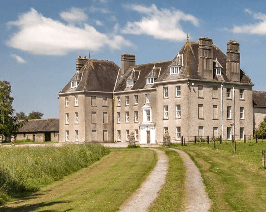 Enclosure in LowesgreenEnclosure · 732 yd
 CastleCastle, ringwork and bailey · 744 yd
 Enclosure in Stephenstown,stephenstownbegEnclosure · 1071 yd
 Kilbragh Housestables · 1318 yd
 Kilbraghhouse · 1342 yd
 Castle (Site of)Castle, unclassified · 1382 yd
 Cashel Folk MusuemMuseum · 4.0 mi
 Black mulberryBlack mulberry · 4.0 mi
 The Rock Of CashelVisitor information · 4.1 mi
 Cormac's ChapelHeritage attraction · 4.1 mi
 Ballyknock HillMountain / peak · 4.2 mi
 Pedunculate OakPedunculate Oak · 5.8 mi