What is recorded here
Fairy fort in Glenfield South is a circular earthen ring, 37.7 metres wide, built on a south-east facing slope in County Cork. People cleared stones from the field and dumped them on its bank, making the ancient ridge taller and harder to ignore. The interior was raised on one side to level the ground, proving the site was shaped for use rather than left to chance. It stands in tillage still, a small made world inside the working land.
In tillage, on SE-facing slope. Circular area (37.7m E-W; 36.7m N-S) enclosed by earthen bank (int. H 1m; max. ext. H 2.5m). Field clearance material dumped on bank all round. Entrance to SE; small break (Wth 1.4m) in bank to N. Interior raised on SE side to compensate for hillslope.
The above description is derived from the published 'Archaeological Inventory of County Cork. Volume 4: North Cork' (Dublin: Stationery Office, 2000). In certain instances the entries have been revised and updated in the light of recent research.
Date of upload/revision: 14 January 2009
The monument record does not grant public access. Check the route and ask the landowner before entering private land.
- What survives
- Recorded monument
Places near here
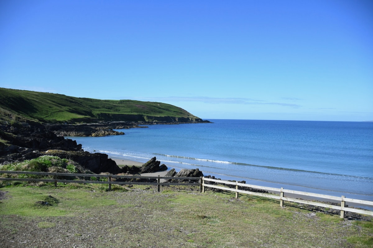 Mound in Glenfield NorthMound · 471 yd
 ToberbweeheenHoly well · 1003 yd
 Liscarroll CastleCastle · 1.3 mi
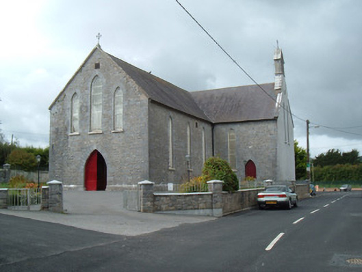 Saint Joseph's Churchchurch/chapel · 1.3 mi
 Battle of LiscarrollMajor battlefield · 1.4 mi
 Ch (in Rns)Church · 1.4 mi
 Castle (Site of)Castle, unclassified · 2.5 mi
 Windmill HillMountain / peak · 3.6 mi
 Churchtown TrailsVisitor information · 4.4 mi
 Lady's WellSpring · 4.5 mi
 Ballyhoura WayWalking route · 4.9 mi
 National Co-op MuseumMuseum · 5.6 mi