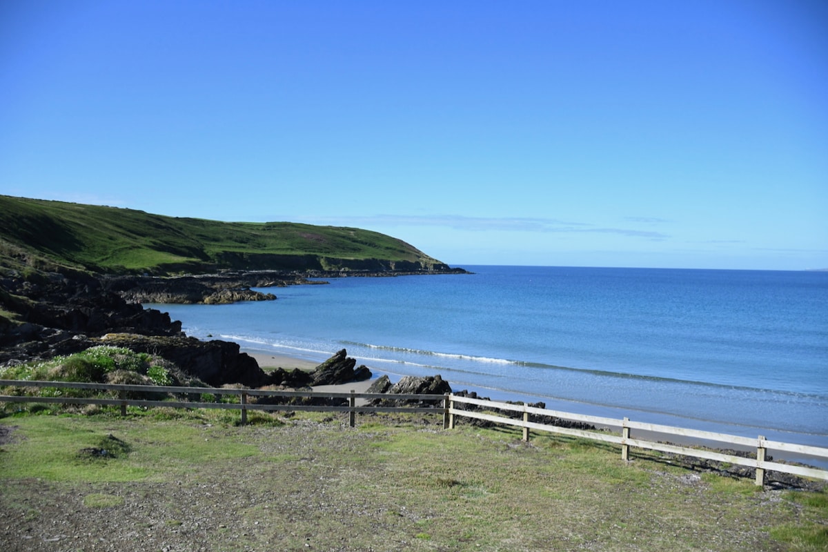
What is recorded here
In level pasture. Hachured as oval mound (c. 30m ENE-WSW; c. 15m N-S) on 1937 OS 6-inch map. Levelled, no visible surface trace. Possibly levelled 'tumulus' recorded by Bowman (1934, 620) on Mr Cronin's land; 'the diameter was about 24 feet.'
The above description is derived from the published 'Archaeological Inventory of County Cork. Volume 4: North Cork' (Dublin: Stationery Office, 2000). In certain instances the entries have been revised and updated in the light of recent research.
Date of upload/revision: 14 January 2009
Possible Neolithic or Bronze Age tumulus; significance reduced due to levelling, but indicates prehistoric burial activity in the area.
The monument record does not grant public access. Check the route and ask the landowner before entering private land.
- What survives
- Recorded monument
Places near here
 ToberbweeheenHoly well · 1126 yd
 Enclosure in Glenfield SouthEnclosure · 1127 yd
 Liscarroll CastleCastle · 1.4 mi
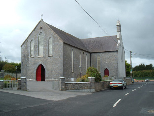 Saint Joseph's Churchchurch/chapel · 1.4 mi
 Battle of LiscarrollMajor battlefield · 1.4 mi
 Ch (in Rns)Church · 1.4 mi
 Castle (Site of)Castle, unclassified · 2.2 mi
 Windmill HillMountain / peak · 3.4 mi
 Churchtown TrailsVisitor information · 4.3 mi
 Lady's WellSpring · 4.5 mi
 Ballyhoura WayWalking route · 4.8 mi
 National Co-op MuseumMuseum · 5.6 mi
Other information
Photo: Credit not shown in the picture search · Rights wording not checked; contact us if this picture should be removed