What is recorded here
Fire and life filled the oval chamber before men erased it. Bowman measured five feet of rampart in 1934, but human hands have since pulled the fences away and levelled the grass. The dark soil and burnt stones remaining in the southeast quadrant record that the fort was not an empty marker; it was a working home.
In pasture, on N-facing slope. Depicted as hachured circular enclosure (diam. c. 25m) on 1842, 1904 and 1937 OS 6-inch maps. Levelled; roughly circular area (40m N-S; c. 37m E-W) of bare grass indicates site; dark soil and burnt stones noted in SE quadrant. Surrounding field fences removed. Recorded by Bowman (1934, 644) as fort 'in T. Buckley's, single-ramparted, c. 5 feet high. Oval-shaped, 25 yards by 18. Interior c. 3 feet higher than outside field level.'
The above description is derived from the published 'Archaeological Inventory of County Cork. Volume 4: North Cork' (Dublin: Stationery Office, 2000). In certain instances the entries have been revised and updated in the light of recent research.
Date of upload/revision: 14 January 2009
The monument record does not grant public access. Check the route and ask the landowner before entering private land.
- What survives
- Recorded monument
Places near here
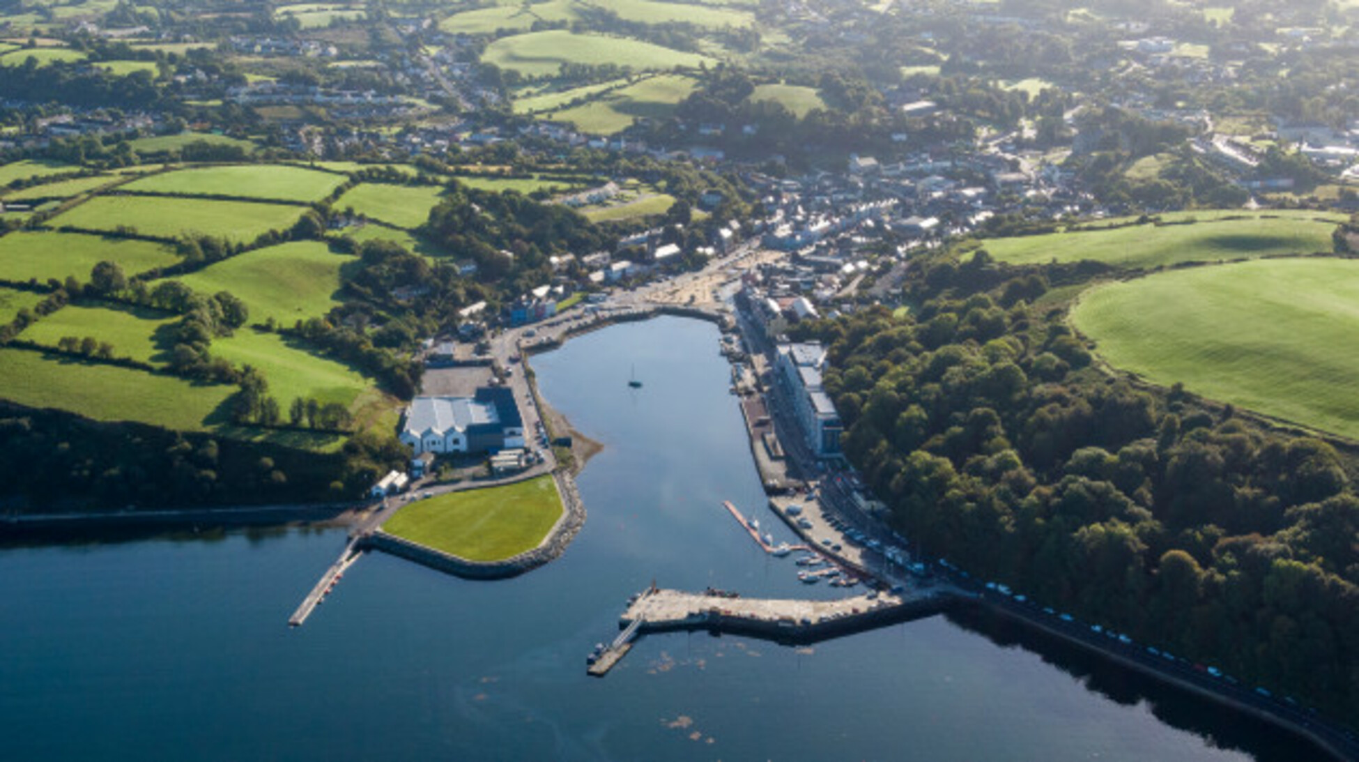 Quarry in Glencollins LowerQuarry · 756 yd
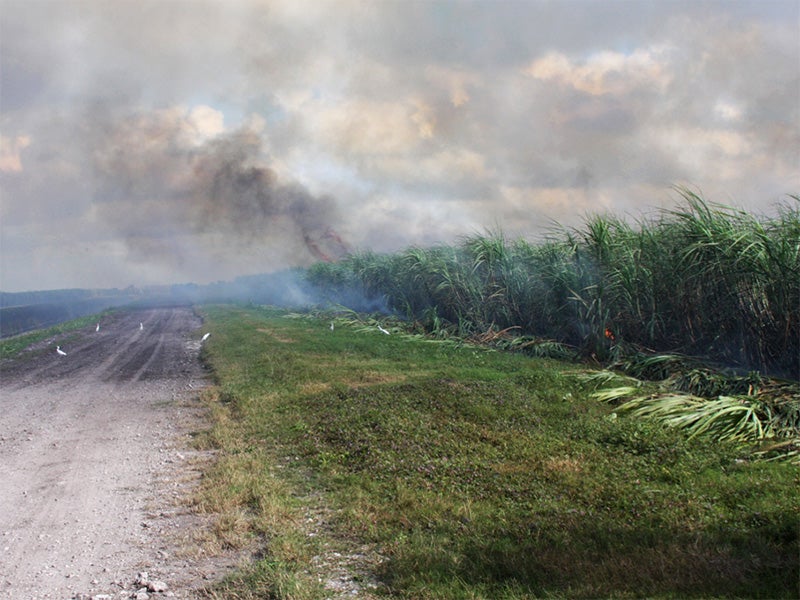 Burnt spread in CarhoonoeBurnt spread · 1417 yd
 IndicatedEnclosure · 1.0 mi
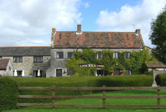 KilnKiln, lime · 1.1 mi
 Doctor's HillMountain / peak · 3.5 mi
 Barna BogForest · 4.1 mi
 Nohaval WoodWood · 4.7 mi
 Mount EagleMountain / peak · 6.7 mi
 Site of Ardnagragh CastleCastle, unclassified · 7.2 mi
 Ardnacreach CastleCastle · 7.2 mi
 BarraduffMemorial · 8.7 mi
 Three CountiesPicnic place · 9.2 mi