What is recorded here
Fairy fort in Glenastar is a 19-metre earthen ring on a south-facing pasture slope, its marshy interior still crowded with rushes. Cattle have worn the bank in places, yet the west and north-east arc hold their shape beneath bushes and small trees. The shallow fosse and dripping centre suggest people once kept rain, rootwork and unwanted visitors outside the same circle.
In pasture, on S-facing slope. Circular area (19m N-S; 19.3m E-W) enclosed by earthen bank with external fosse. Bank is best preserved W->NE (int. H 0.4m; ext. H 1m) but eroded by cattle elsewhere. Fosse (Wth 1m; D 0.45m) is shallowest along S arc. Interior, which slopes down to S, is marshy and covered with rushes. Bushes and small trees cover bank and fosse.
Compiled by: Denis Power
Date of upload: 26 August 2011
The monument record does not grant public access. Check the route and ask the landowner before entering private land.
- What survives
- Recorded monument
Places near here
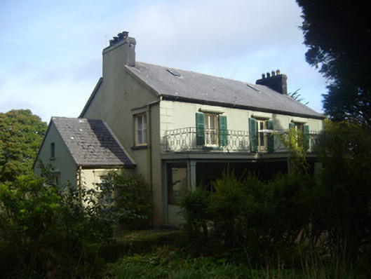 Glenastar Lodgehunting/fishing lodge · 347 yd
 EnclosureEnclosure, large enclosure · 1.0 mi
 Enclosure in GlenastarEnclosure · 1.0 mi
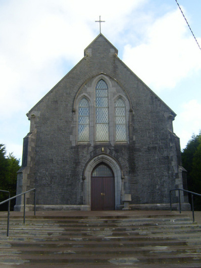 Saint Mary's Catholic Churchchurch/chapel · 1.1 mi
 Limerick GreenwayWalking route · 2.7 mi
 CahermoyleCastle, unclassified · 3.2 mi
 St. Luke's WellSpring · 3.5 mi
 Castle (in ruins)Castle, tower house · 3.5 mi
 Sugar HillMountain / peak · 4.3 mi
 St. Kieran's WellSpring · 5.2 mi
 Lawson's CypressLawson's Cypress · 6.5 mi
 Prospect HillMountain / peak · 7.1 mi