What is recorded here
Fairy forts are no fairy tale, though they sound like one. They are ancient human settlements, often circular, with ditches and banks, built and lived in long before written records. People farmed, kept animals, made tools and raised children inside them. The fantasy name came later, when the true purpose had faded from memory.
Located towards the W end of a low E-W ridge. The cropmark of a circular enclosure (int. diam. c. 40m) defined by a single fosse feature and with a large pit on the perimeter at E is visible oblique aerial photographs (LH024, 75_1, _2) taken in July 2018. It is also visible on Google Earth (15/02/2019, 11/08/2022) and on other Google Earth images.
See the attached enhanced view from Google Earth (15/02/2019)
Compiled by Michael Moore based on details provided by Oliver and Noel Murphy.
Date of upload: 7 August, 2018
Amended: 9 June 2023
The monument record does not grant public access. Check the route and ask the landowner before entering private land.
- What survives
- Recorded monument
Places near here
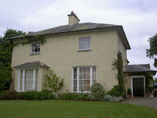 The Rectoryrectory/glebe/vicarage/curate's house · 200 yd
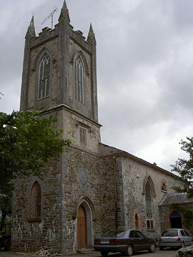 Glenwoodchurch/chapel · 252 yd
 Quarry Garden WoodForest · 757 yd
 School WoodForest · 1009 yd
 Enclosure in TullyallenEnclosure · 1676 yd
 Man-made underground passage in BalgatheranMan-made underground passage · 1.1 mi
 Battle of the Boyne Visitor CentreMuseum · 1.1 mi
 Battle of the BoyneMajor battlefield · 1.1 mi
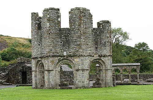 Mellifont AbbeyHeritage attraction · 1.2 mi
 Proudfootstown CastleCastle, unclassified · 1.5 mi
 Grove IslandIslet · 1.6 mi
 Drummond TowerCastle · 1.6 mi