What is recorded here
Glasleck holds a broken fairy fort where a laneway now cuts through the earthen bank and modern buildings occupy the eastern edge. The surviving western curve still marks a circular space twenty-seven metres wide, but drystone walling has straightened part of the boundary and trees fill the interior. Human hands have repeatedly taken the site back for roads, houses and walls, leaving only a hint of the older ring beneath ordinary use.
Raised circular area (int. diam. 27m) enclosed by a low earthen bank and the remains of a narrow fosse from W-S-SE. At NW the curve of the bank has been straightened and drystone walling applied to its outer face. From NE-E-SE the perimeter has been levelled and modern buildings occupy the site. Bank has also been levelled from N-NW. Laneway cuts through perimeter at W and runs through the interior to SE. Internal area has been planted with trees.
The above description is derived from the published 'Archaeological Inventory of County Cavan' (Dublin: Stationery Office, 1995). In certain instances the entries have been revised and updated in the light of recent research.
Date of upload/revision: 22 December 2008
The monument record does not grant public access. Check the route and ask the landowner before entering private land.
- What survives
- Recorded monument
Places near here
 Glasleck Presbyterian Churchchurch/chapel · 1089 yd
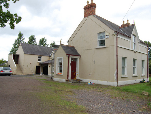 The Mansemanse · 1172 yd
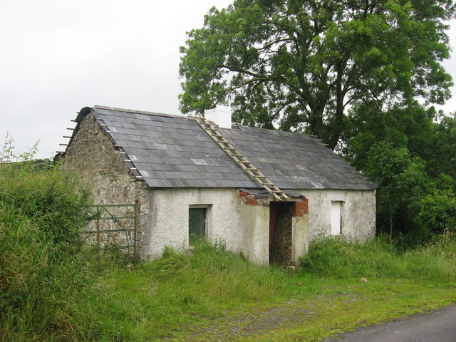 IndicatedFairy fort / earthen ringfort · 1634 yd
 Black FortArchaeological place · 1700 yd
 Green IslandIsland · 1.1 mi
 Taghart South ForestForest · 1.2 mi
 NolaghWood · 1.9 mi
 Bawn in LisdrumskeaBawn · 2.0 mi
 Bush IslandIslet · 2.3 mi
 RaferaghMountain / peak · 2.3 mi
 DerrynureMountain / peak · 2.5 mi
 Welcome to Bailieborough DemesneVisitor information · 3.7 mi