What is recorded here
Marianne and Joan viewed a broken stone circle in Kilkenny. They saw a shallow trench cutting across the middle and soil dumped inside the ancient boundary. The women touched rough rocks exposed by modern quarrying. They wondered whether humans or fairies built the fort before machines damaged it.
In rolling grassland on the floor of the Goul river valley, a little above the flood plain. Land drops away slightly to the S and W towards the River Goul. A circular area (diam. c. 29m) enclosed by a stoney bank (Wth at crest c. 1m; overall Wth 3m; int. H c. 0.9m; ext. H c. 0.9m) of irregular stones. A field boundary running NW-SE truncates the SW quadrant and the bank in the SW quadrant has been levelled. A quarry trench (Wth 3m) runs N-S across the centre of the monument and other has damaged the E quadrant. The underlying bedrock is close to the surface of the interior. Also within the interior there is spoil from the quarrying activity as well as dumped material.
Compiled by: Jean Farrelly
Date of upload: 2 February 2016
The monument record does not grant public access. Check the route and ask the landowner before entering private land.
- What survives
- Recorded monument
Places near here
 Enclosure in GlashareEnclosure · 886 yd
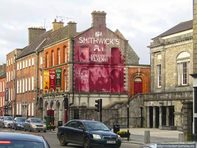 Glashare Ringfort (rath)Archaeological place · 993 yd
 Glashare CastleCastle, tower house · 1090 yd
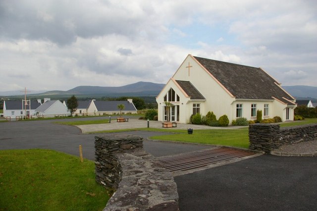 Church in GlashareChurch · 1153 yd
 Street fieldArchaeological place · 1305 yd
 Abbey (in ruins)Religious house, unclassified · 1.3 mi
 Grangefertagh Castle (site)Archaeological place · 1.6 mi
 Cnoc SeanrathaMemorial · 2.8 mi
 DelaneyMemorial · 3.5 mi
 Clomantagh HillMountain / peak · 3.9 mi
 Big WoodWood · 4.2 mi
 Anker's IslandIsland · 7.1 mi