What is recorded here
Situated on a gentle E-facing slope, in undulating pasture, with fairly good views in all directions. Ringfort (WM018-124----) lies c. 90m to SE. Depicted on the 1837 ed. OS 6-inch map as a circular-shaped earthwork abutting the public road to ESE. Depicted on the revised 1913 ed. OS 25-inch map as a circular-shaped earthwork truncated by a field boundary to NNE and the public road to ESE.
Monument described in 1980 as an oval-shaped enclosure (dims. 34m N-S; 29.5m E-W) defined by a bank and external fosse with no entrance gap visible. The low bank of earth and stone is visible from E-S-W-WNW and there is internal stone facing from S-SSE. The bank has been reduced to a low scarp from WNW-N-E. A wide, deep fosse survives from S-W-NW and is shallow from NW-N where it is partially infilled. The fosse is absent from E-S where it is truncated by the public road which runs NE-SW just E of the site. The interior has a gentle E-facing slope. A modern field fence runs roughly NW-SE across the monument just N of centre. Monument visible today as a roughly oval-shaped tree-planted earthwork on Digital Globe aerial photography.
Compiled by: Alison McQueen, Vera Rahilly and Caimin O’Brien
Date of upload: 08 February 2019
The monument record does not grant public access. Check the route and ask the landowner before entering private land.
- What survives
- Recorded monument
Places near here
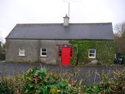 Bushmills Cottagehouse · 172 yd
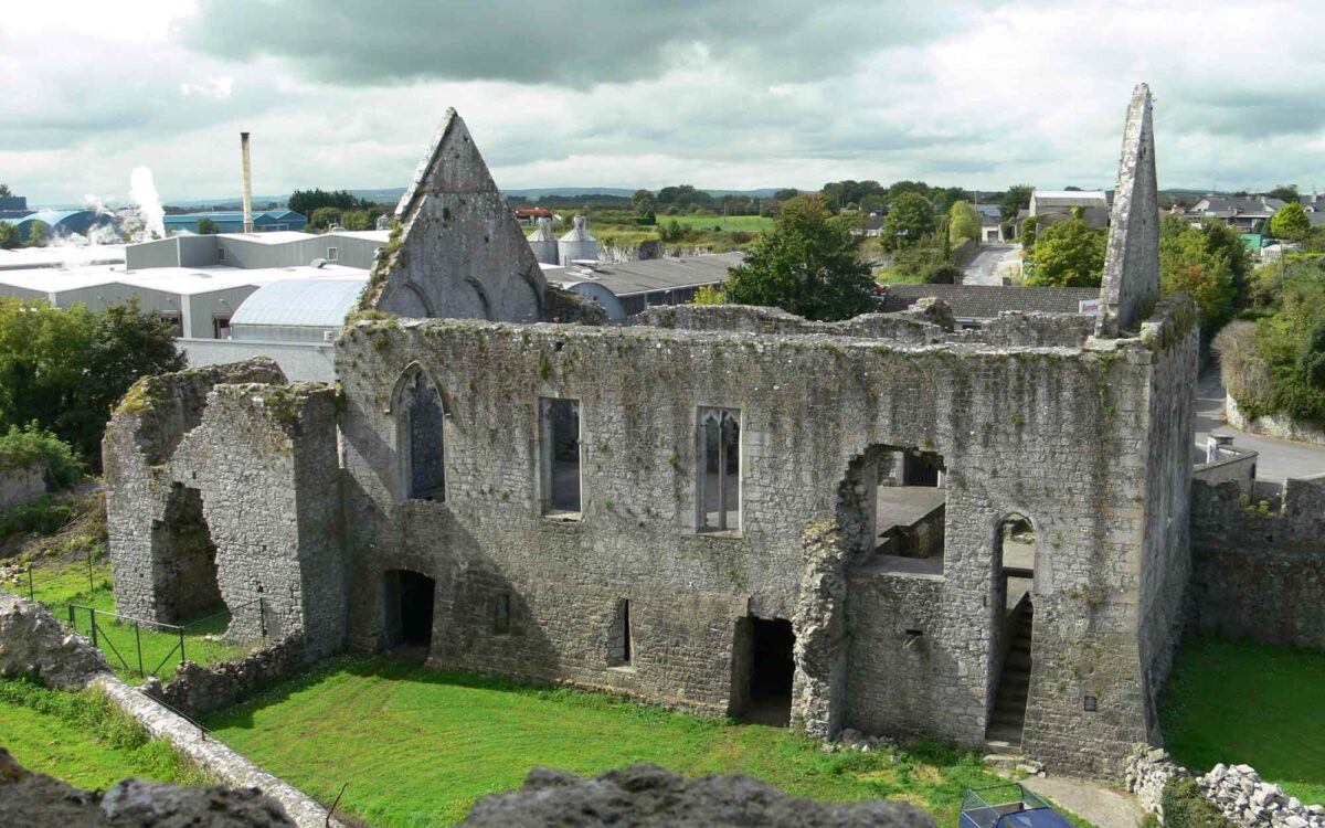 Site of CastleCastle, unclassified · 633 yd
 Fieldtown CastleCastle · 735 yd
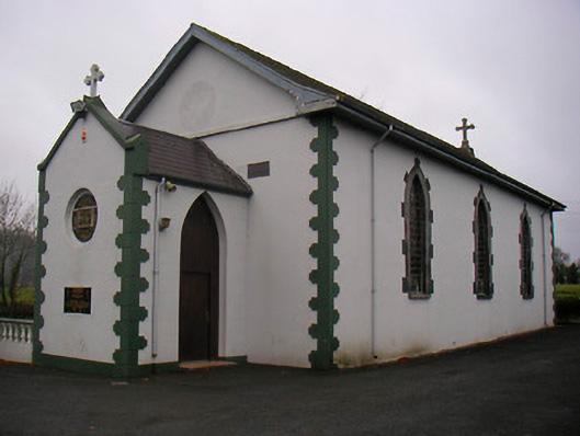 Catholic Church of the Little Flower and Our Lady of Good Counselchurch/chapel · 1099 yd
 WestmeathVisitor information · 1.2 mi
 Enclosure in BalleagnyEnclosure · 1.2 mi
 Settlement desertedSettlement deserted, medieval · 1.2 mi
 Ancient Ring FortWood · 2.1 mi
 Hill of UisneachMountain / peak · 3.8 mi
 Carrickphilbin IslandIslet · 4.5 mi
 European ashEuropean ash · 4.7 mi
 Srudarra IslandIslet · 4.9 mi