What is recorded here
Glanshearoon holds a levelled ringfort beside S facing pasture, reduced in 1985 to a faint forty-two metre outline but still marked beneath the grass on later aerial images. The earth has been cut back, yet the enclosure persists as a shadow in the soil, waiting for rain or light to remind the land of its shape.
Levelled monument on S facing pasture, described in 1985 by the Castleisland District Archaeological Survey as only the faint outline of the levelled earthwork (diam. c. 42m) remains visible. Cropmark of levelled enclosure visible on Digital Globe orthoimage taken between 2011-13.
See attached Google Earth orthoimages
Compiled by: Caimin O'Brien
Date of upload: 25 April 2022
The monument record does not grant public access. Check the route and ask the landowner before entering private land.
- What survives
- Recorded monument
Places near here
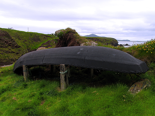 Enclosure in Dooneen (trughanacmy By.)Enclosure · 682 yd
 Church in GlanshearoonChurch · 700 yd
 Burnt spread in GlanshearoonBurnt spread · 745 yd
 Crag CaveCave · 1626 yd
 Saint Stephen's Church (Castleisland)church/chapel · 1711 yd
 Castle (in ruins)Castle, Anglo-Norman masonry castle · 1.2 mi
 Ballymacadam Castle (in ruins)Castle, tower house · 1.9 mi
 SlievebrickanMountain / peak · 5.1 mi
 PouldermotCave · 6.3 mi
 Stack's MountainMountain / peak · 7.0 mi
 Common AlderCommon Alder · 7.4 mi
 Monument WoodWood · 7.9 mi