What is recorded here
Fairy fort / earthen ringfort in Glannaheera is a sub-circular univallate rath on the lower slopes of Brickany mountain, overlooking the Emlagh river valley in County Kerry, Ireland. Its earthen bank still rises 1.7m on the uphill side, while a 10.9m section at ESE has been levelled and a 2.1m gap at W may mark the entrance. People may have lived there, herded animals past the stream, or simply read the ring as a boundary between ordinary land and remembered land.
Internal diam. c. 16.7m
A sub-circular univallate rath situated on the lower slopes of Brickany mountain, overlooking the Emlagh river valley. The land slopes downhill to SE and a small stream flows SE directly outside the N part of the enclosing bank. The earthen bank reaches its maximum height on the uphill side at NNW where it is 1.7m high externally and 1.2m high internally. On the downslope side at SW it is only .1m high internally and 1m high externally, and a 10.9m long section at ESE has been completely levelled. A 2.1m wide gap at W may mark the original entrance.
The above description is derived from J. Cuppage, ‘Corca Dhuibhne. Dingle Peninsula archaeological survey. Ballyferriter. Oidhreacht Chorca Dhuibhne’ (1986), no. 441. In certain instances the entries have been revised and updated in the light of recent research.
Date of upload: 7 August 2013
The monument record does not grant public access. Check the route and ask the landowner before entering private land.
- What survives
- Recorded monument
Places near here
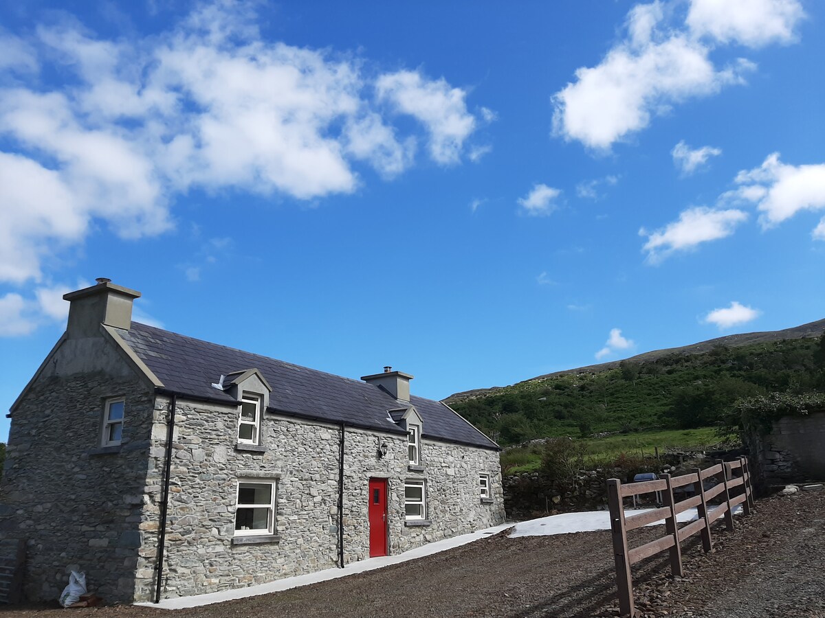 Hut site in Ballynahunt,kilduff (corkaguiny By.)Hut site · 1044 yd
 BrickanyMountain / peak · 1354 yd
 Endurance MonumentMonument · 1426 yd
 Church in Inch East (corkaguiny By.)Church · 1.4 mi
 Inch BeachVisitor information · 1.5 mi
 EmlaghMountain / peak · 1.6 mi
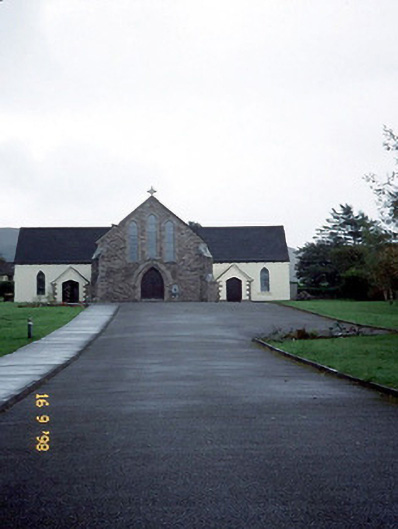 Catholic Church of the Sacred Heartchurch/chapel · 2.8 mi
 Statue of Our LadyHeritage attraction · 3.1 mi
 Jerome ConnorMemorial · 3.1 mi
 Bunaneer StrandBeach / strand · 3.3 mi
 Glanteenassig Forest ParkForest · 3.6 mi
 Graveyard in BallynacourtyGraveyard · 3.8 mi