What is recorded here
Half the ring is gone, lost beneath a straight field boundary and modern ploughing, but the surviving half still stands thirty-two metres across on a NE-facing slope in Glannagh. The deep fosse and low outer bank remain visible through scrub and young trees, marking a fort old enough to be called merely Fort on an 1837 map. The missing half does not need inventing; it has already been taken by the changing needs of the land.
On a NE-facing slope in pasture. Depicted as a D-shaped enclosure with the designation 'Fort' on the 1837 ed. of the OS 6-inch map. A raised circular area (diam. 32.2m) enclosed by a low bank of earth and stone (Wth 4.7m; H 0.8m max.) with a deep intervening fosse (Wth 3m; D 1.1m) and a low outer bank (Wth 4.6m; H 0.2m). It is divided into roughly equal portions by a modern NW-SE field boundary. The portion to the SW of this boundary has been levelled and only its outline is identifiable. The original entrance is not recognisable. The extant portion of the rath is occupied by deciduous and coniferous trees and scrub.
Compiled by: Patrick F. O'Donovan
Date of upload: 26 August 2011
The monument record does not grant public access. Check the route and ask the landowner before entering private land.
- What survives
- Recorded monument
Places near here
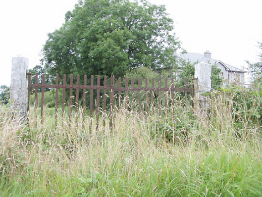 gates/railings/wallsgates/railings/walls · 768 yd
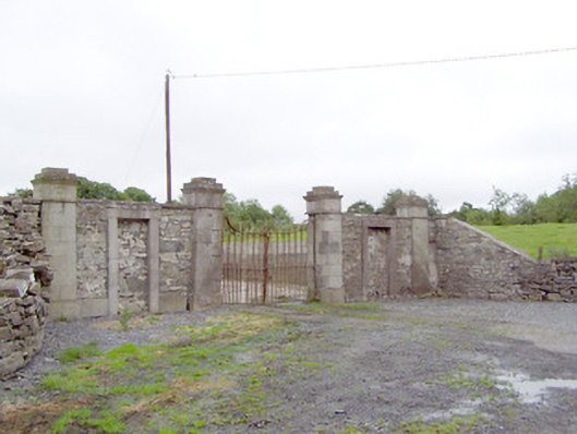 Newtownbond Housegates/railings/walls · 972 yd
 CastleCastle, motte · 1354 yd
 Moat & CastleCastle, motte and bailey · 1703 yd
 Field system in MoatfarrellField system · 1724 yd
 Enclosure in LisnanaghEnclosure · 1.3 mi
 Ballinalee Forest WalkForest · 2.8 mi
 Oldtown DemesneForest · 2.8 mi
 Bully's Acregraveyard/cemetery, unknown · 3.1 mi
 Edgeworthstown BypassMemorial · 3.6 mi
 Clonfin Ambush MemorialMemorial · 3.9 mi
 Granard MotteMotte-and-bailey castle remains · 7.4 mi