What is recorded here
No king, palace or distant invasion is needed to explain the fort. A family, a clan or a local chief may have held the terrace, built the ring, kept livestock, stored food and watched the valley below. The cave may have served as a cellar, refuge or hidden room within their world.
A 'ring of dark soil' was revealed when this field was ploughed and a small 'cave' was discovered within it (local information). It is possible that these were the remains of a ringfort and Man-made underground passage. The site is located on a relatively level terrace on a generally steep ENE facing slope overlooking Gleann na nGealt.
The above description is derived from J. Cuppage, ‘Corca Dhuibhne. Dingle Peninsula archaeological survey. Ballyferriter. Oidhreacht Chorca Dhuibhne’ (1986), no. 690. In certain instances the entries have been revised and updated in the light of recent research.
Date of upload: 7 August 2013
A fairy fort or earthen ringfort in Glannagalt, likely dating to the early medieval period, is indicated by a ring of dark soil and a possible underground passage revealed through ploughing. Local tradition associates such sites with fairy folklore, suggesting they may have been considered sacred or inhabited by otherworldly beings.
The monument record does not grant public access. Check the route and ask the landowner before entering private land.
- What survives
- Recorded monument
Places near here
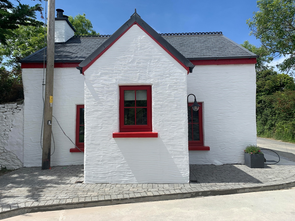 Hut site in FoilatrisnigHut site · 324 yd
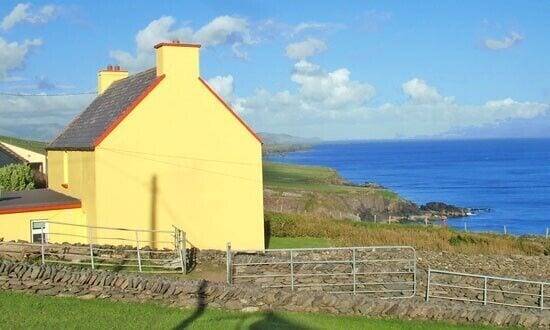 Hut site in Doonore SouthHut site · 812 yd
 CorrinMountain / peak · 1.0 mi
 KnockbegMountain / peak · 1.2 mi
 Church in Duagh (corkaguiny By.)Church · 1.3 mi
 Church in Arraglen (corkaguiny By., Castlegregory Ed),killiney,tullig (corkaguiny By., Castlegregory Ed)Church · 1.8 mi
 Faisr's GraveArchaeological place · 1.8 mi
 Site of Camp CastleCastle, unclassified · 1.9 mi
 Graveyard in Baile An Chnocáin (tc An Cnoc Glas)Graveyard · 2.0 mi
 CastleCastle, unclassified · 2.2 mi
 Glanteenassig Forest ParkForest · 4.0 mi
 Inch BeachVisitor information · 4.8 mi