What is recorded here
Mortons and others still call it a fairy fort because people once believed the fairies lived there. The earth bank stands three metres high around a circular space, with a narrow gap in the north and a hidden passage beneath the grass. That is why it is also a ringfort: humans built it, shaped it and left it standing on the slope.
In pasture, on break in N-facing slope. Roughly circular area (32m N-S; 28m E-W) enclosed by earthen bank (H 3.6m). Bank stone-faced in parts; berm on inner face may be due to slippage; gap (Wth 2.6m) in N bank. Man-made underground passage (CO119-003002-) in interior. Surrounding field fences removed.
The above description is derived from the published 'Archaeological Inventory of County Cork. Volume 1: West Cork' (Dublin: Stationery Office, 1992). In certain instances the entries have been revised and updated in the light of recent research.
Date of upload/revision: 14 January 2009
The monument record does not grant public access. Check the route and ask the landowner before entering private land.
- What survives
- Recorded monument
Places near here
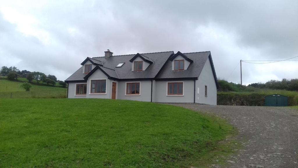 Enclosure in Glanbannoo UpperEnclosure · 680 yd
 Field boundary in Glanbannoo UpperField boundary · 716 yd
 Clapper bridge in Derryginagh EastClapper bridge · 1.4 mi
 Francis O'Neill PlaqueMemorial · 1.4 mi
 Church in InchicloghChurch · 2.0 mi
 Mullach MéiseMountain / peak · 2.1 mi
 Trawlebane WalkWalking route · 2.2 mi
 Baugorm Castle (Site of)Castle, unclassified · 2.6 mi
 Kealkill stone circleVisitor information · 3.3 mi
 Castle DonovanCastle · 3.4 mi
 Graveyard in TownlotsGraveyard · 3.9 mi
 Delish Cascade WalkWalking route · 4.0 mi