What is recorded here
No visible entry. A twenty-metre clay circle stands in pasture beside the Little Mealagh River, its east edge built higher only because the hill falls away. People may have lived inside that tilted ring before becoming a fairy fort in local memory, but no door or ownership survives to prove which claim is true.
In pasture, just S of Little Mealagh River, on ESE-facing slope. Circular, slightly raised area (20.9m N-S; 23.1m E-W) enclosed by earthen bank (H 2m); scarp to E. Laneway skirts bank to W. Interior raised on E side to compensate for hill slope.
The above description is derived from the published 'Archaeological Inventory of County Cork. Volume 1: West Cork' (Dublin: Stationery Office, 1992). In certain instances the entries have been revised and updated in the light of recent research.
Date of upload/revision: 14 January 2009
The monument record does not grant public access. Check the route and ask the landowner before entering private land.
- What survives
- Recorded monument
Places near here
 Burnt mound in CloonygormanBurnt mound · 699 yd
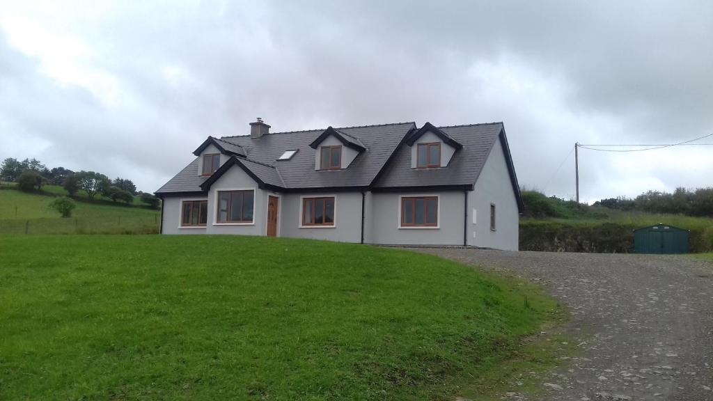 Enclosure in Glanbannoo UpperEnclosure · 1131 yd
 Clapper bridge in Derryginagh EastClapper bridge · 1.6 mi
 Francis O'Neill PlaqueMemorial · 1.7 mi
 Church in InchicloghChurch · 1.9 mi
 Mullach MéiseMountain / peak · 2.0 mi
 Trawlebane WalkWalking route · 2.5 mi
 Baugorm Castle (Site of)Castle, unclassified · 2.9 mi
 Kealkill stone circleVisitor information · 3.0 mi
 Castle DonovanCastle · 3.4 mi
 Ballylickey BayBay · 4.0 mi
 St Finbarr's Pilgrim RouteWalking route · 4.0 mi