What is recorded here
Marianne and I climbed the ridge above Glanbane at dusk, her red coat a small flame against the grey sky. She pointed to a shallow circular scar in the grass, its edge marked by broken stones and dark soil. We sat inside the forgotten circle while rain struck the ridge, and she said nothing until the storm passed. When she spoke, she named the place a fairy fort and warned that joy must leave before darkness returns. I laughed, but her hands trembled on the cold stone. We descended the mountain as the first stars appeared, and I have never climbed that ridge alone.
The Archaeological Survey of Ireland (ASI) is in the process of providing information on all monuments on The Historic Environment Viewer (HEV). Currently the information for this record has not been uploaded. To access available information for research purposes please make an appointment in advance with the Archive Unit (open Fridays 10.00 am – 5.00 pm), Department of Housing, Local Government and Heritage, The Custom House, Dublin 1 D01W6XO or email NMarchive@housing.gov.ie.
The monument record does not grant public access. Check the route and ask the landowner before entering private land.
- What survives
- Recorded monument
Places near here
 LisnadeeArchaeological place · 5 yd
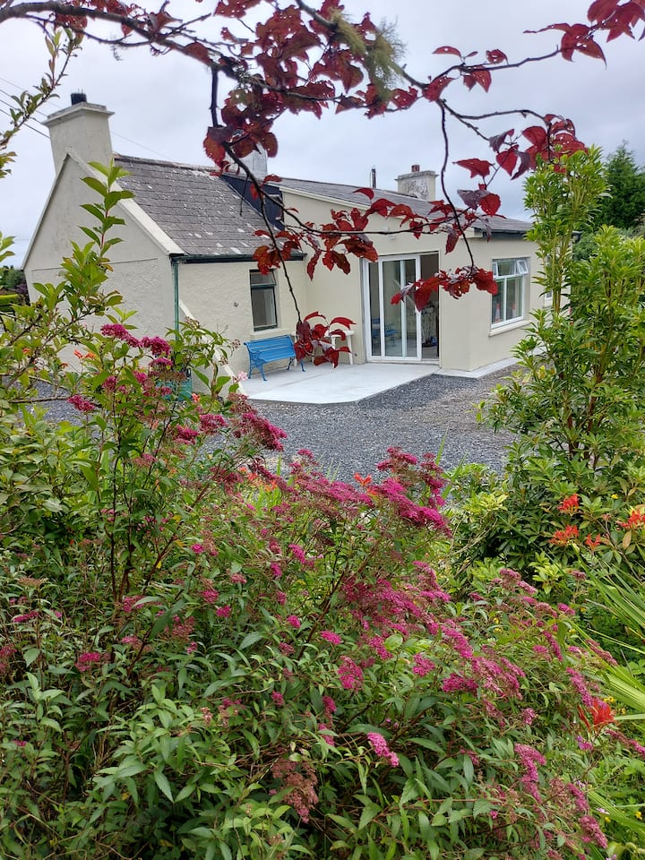 LissaniskaArchaeological place · 373 yd
 KillChurch · 1.4 mi
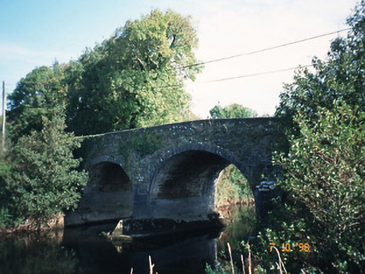 Maine Bridgebridge · 1.4 mi
 Site of Currans CastleCastle, unclassified · 1.5 mi
 Site of Rockfield Ho.Castle, unclassified · 2.2 mi
 PoulatouirtCave · 4.0 mi
 Common AlderCommon Alder · 4.1 mi
 Poulclashcannon (blocked)Cave · 4.1 mi
 Monument WoodWood · 4.4 mi
 Scotia's GraveArchaeological place · 5.9 mi
 Civil War MemorialMemorial · 6.3 mi