What is recorded here
Fairy fort in Gilcagh, County Cork: a circular earthen ringfort about forty metres across, mapped repeatedly before stone was taken and the earth levelled for fence clearance. A short bank still stands inside the field fence, marking the place where people once drew a line around their own lives. The fairies kept what the farmers removed, or perhaps they never lived there at all; either way the ground remembers the shape of the ring.
In tillage. Depicted as hachured circular enclosure (diam. c. 40m) on 1842, 1904 and 1937 OS 6-inch maps. Hartnett (1939, 283) recorded low rampart to N, surviving to H 5ft to S with entrance to E. Stone quarried here c. 1920 (ibid.). According to landowner, levelled during field fence clearance c. 1970. Short section of bank survives, incorporated into field fence system.
The above description is derived from the published 'Archaeological Inventory of County Cork. Volume 3: Mid Cork' (Dublin: Stationery Office, 1997). In certain instances the entries have been revised and updated in the light of recent research.
Date of upload/revision: 14 January 2009
The monument record does not grant public access. Check the route and ask the landowner before entering private land.
- What survives
- Recorded monument
Places near here
 St Joseph's Roman Catholic Churchchurch/chapel · 554 yd
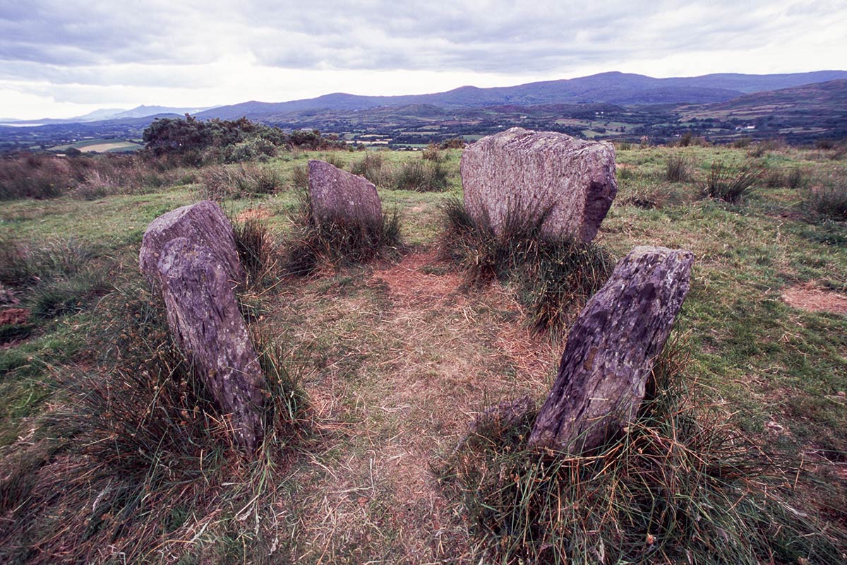 BarrowBarrow, ring-barrow · 1390 yd
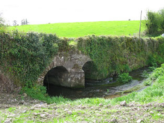 Courtbrack Bridgebridge · 1650 yd
 IndicatedFairy fort / earthen ringfort · 1705 yd
 Ballyvodane Castle (in Ruins)Castle, unclassified · 1.8 mi
 Ballyanly Inniscarra Slí na SláinteWalking route · 2.2 mi
 Garrycloyne Castle (in Ruins)Castle, tower house · 3.2 mi
 Pakie HoganMemorial · 3.4 mi
 Pairc Ath Na hEornaMemorial · 3.6 mi
 BatsVisitor information · 3.8 mi
 Lion RockNamed rock · 3.9 mi
 Waterloo Loop WalkWalking route · 3.9 mi