What is recorded here
That is a ringfort built of earth and memory, not stone or legend. It stands on a hillock in Geehanstown, County Meath, where the land rises just enough to claim attention. The bank is low, the grass soft, and the entrance has vanished into time, yet the shape remains clear: a circle drawn by human hands, likely centuries before records began. It is the kind of place where ordinary life became exceptional simply because someone chose to mark it, defend it, or belong within it.
Situated on a hillock in an undulating low-lying landscape. This is a subcircular grass-covered area (dims 27m NE-SW; 24m NW-SE) that slopes down to the NE (H 1m). It is defined by a low grass-covered earthen bank (Wth of base 3.5-4m; int. H 0.2m; ext. H 1m), with traces of an outer fosse (Wth of base 1m; ext. D 0.3m) SW-W. The original entrance is not identified, and the perimeter is slightly truncated by a NE-SW field bank at SE.
The above description is derived from the published 'Archaeological Inventory of County Meath' (Dublin: Stationery Office, 1987). In certain instances the entries have been revised and updated in the light of recent research.
Compiled by: Michael Moore
Date of revision: 10 January 2019
The monument record does not grant public access. Check the route and ask the landowner before entering private land.
- What survives
- Recorded monument
Places near here
 IndicatedFairy fort / ringfort · 1096 yd
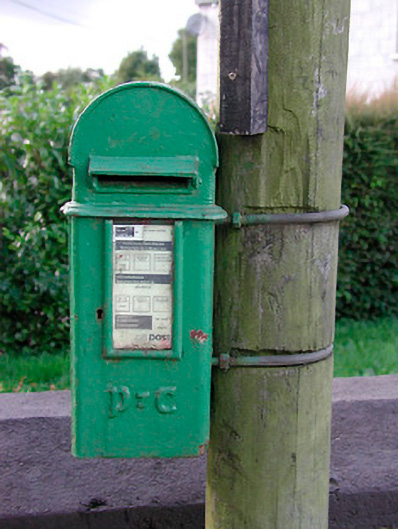 post boxpost box · 1347 yd
 Not inidicatedFairy fort / earthen ringfort · 1597 yd
 Bradley's WoodWood · 1.0 mi
 Corn MillMill, unclassified · 1.1 mi
 Bawn in ArcherstownBawn · 1.3 mi
 Kells HillMountain / peak · 1.3 mi
 MoatCastle, motte and bailey · 1.5 mi
 The Keeper's FieldForest · 1.6 mi
 The Sloe HillMountain / peak · 1.8 mi
 Zip WireHeritage attraction · 4.6 mi
 LoughcrewMegalithic tomb cemetery · 4.9 mi