What is recorded here
Magic is not required to explain the fort, but the name still belongs to the people who first saw it standing above the low land like a room built for someone larger than themselves. The measurable part is plain: a rounded earthwork with a cut edge, an entrance ramp, and a smaller rectangular banked site beside the centre. The strange part is that the shape still reads as a house, not a ruin, as if the ground remembered the room before people stopped using it.
Located on a hillock in an undulating low-lying landscape. This is a subcircular, domed and overgrown area (dims 33m E-W; 29m N-S) defined a scarp (at SE: Wth 2.5m; H 1.3m) with an entrance ramp (Wth of base 2.2m) at E. Just E of the centre is a rectangular house site (int. dims 4.5m ENE-WSW; 3.5m NNW-SSE) defined by an earthen bank (Wth 2m; int. H 0.2m; ext. H 0.45m) with an entrance at E. It remains unplanted in a coniferous forest since before 2005 (OSAP).
The above description is derived from the published 'Archaeological Inventory of County Meath' (Dublin: Stationery Office, 1987). In certain instances the entries have been revised and updated in the light of recent research.
Compiled by: Michael Moore
Date of revision: 10 January 2019
The monument record does not grant public access. Check the route and ask the landowner before entering private land.
- What survives
- Recorded monument
Places near here
 Not inidicatedFairy fort / earthen ringfort · 972 yd
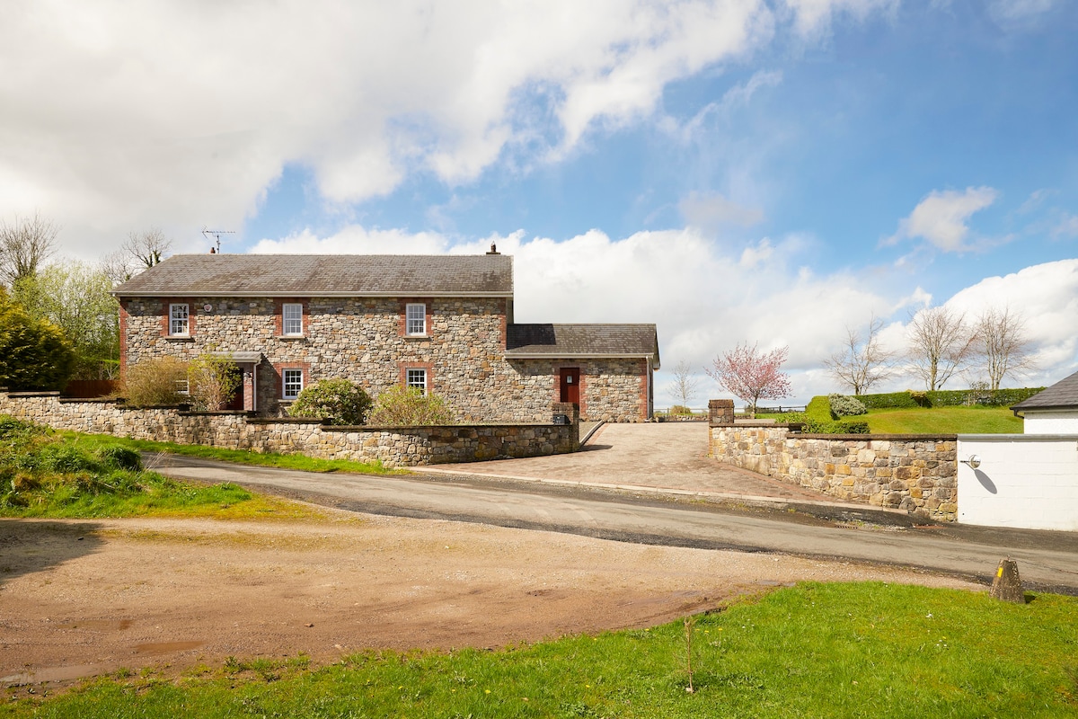 Enclosure in BoherardEnclosure · 1561 yd
 Corn MillMill, unclassified · 1650 yd
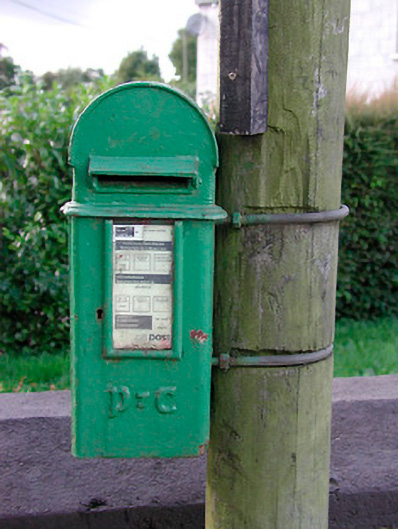 post boxpost box · 1671 yd
 Bradley's WoodWood · 1.2 mi
 Bawn in ArcherstownBawn · 1.2 mi
 MoatCastle, motte and bailey · 1.3 mi
 European ashEuropean ash · 1.5 mi
 Kells HillMountain / peak · 1.6 mi
 The Sloe HillMountain / peak · 2.2 mi
 Zip WireHeritage attraction · 4.9 mi
 LoughcrewMegalithic tomb cemetery · 5.2 mi