What is recorded here
Fairy fort / earthen ringfort in Garvalt Lower is a raised circular area twenty-two point nine metres across, enclosed by a slight earthen bank and the remains of a fosse. The original entrance has become unrecognisable, but the circle still stands close to the summit of a low hill in rough mountainous terrain. It may have been a dwelling, a boundary marker, or a place where people went to be away from ordinary sight. Whichever it was, the land kept the shape while forgetting the door.
Raised circular area (int. diam. 22.9m) enclosed by a slight earthen bank and the remains of a fosse. Original entrance not recognisable. Situated in rough mountainous terrain close to the summit of a low hill.
The above description is derived from the published 'Archaeological Inventory of County Cavan' (Dublin: Stationery Office, 1995). In certain instances the entries have been revised and updated in the light of recent research.
Date of upload/revision: 22 December 2008
The monument record does not grant public access. Check the route and ask the landowner before entering private land.
- What survives
- Recorded monument
Places near here
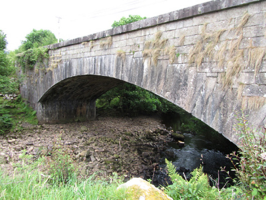 bridgebridge · 487 yd
 IndicatedFairy fort / stone ringfort · 900 yd
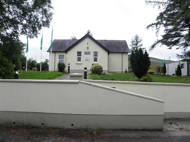 CurraghvahMountain / peak · 1577 yd
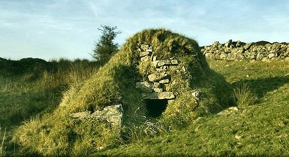 Sweathouse in GowlatSweathouse · 1709 yd
 Foxes CaveCave · 1.5 mi
 ArdvaghMountain / peak · 1.6 mi
 Crofton's HillForest · 1.6 mi
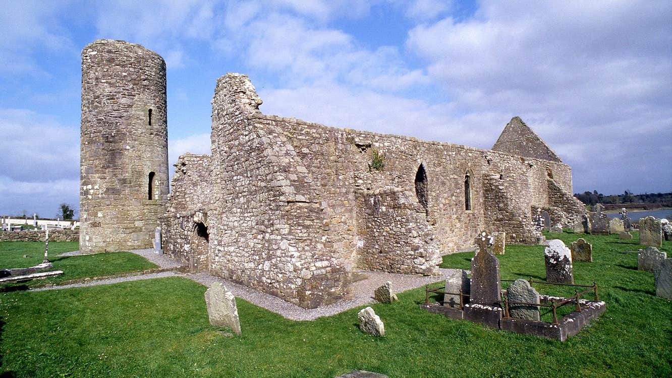 Moneensauran Cuilcagh Anierin Uplands Special Area of ConservationNature reserve · 1.7 mi
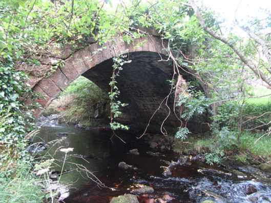 Carty’s Bridgebridge · 1.7 mi
 CarrignahastaCliff · 1.9 mi
 PlaygroudCliff · 1.9 mi
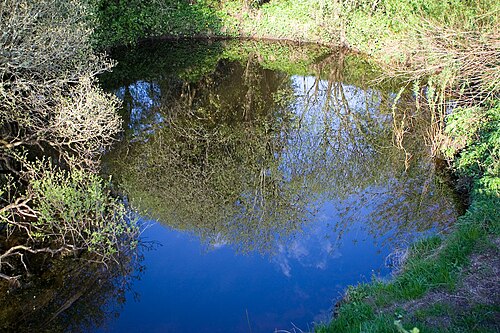 Shannon PotSpring · 2.9 mi