What is recorded here
Notched in the green pasture of Granard, the lost fort vanished before modern eyes could follow it. A house builder cut through the site in 2003 and found nothing but ordinary earth, proving that time and human ambition erased the boundary marked on old maps. The fairies may have reclaimed their fort, leaving behind a clean field where memory and soil both refuse to answer.
On a low rise in well-drained pasture. Depicted as a bivallate circular enclosure with the designation ‘Fort’ on the 1837 edition of the OS 6-inch map. An report in 1975 (SMR file) recorded that it had been levelled and, while all that survived was a small section of the fosse at SW, it was probably a ringfort. The fosse has since been infilled and the monument is not visible at ground level. Archaeological testing in 2003 prior to the construction of a dwelling house in its vicinity yielded no archaeological features or artifacts (Purcell 2006, 319).
Compiled by: Patrick F. O'Donovan
Date of upload: 24 January 2012
The monument record does not grant public access. Check the route and ask the landowner before entering private land.
- What survives
- Recorded monument
Places near here
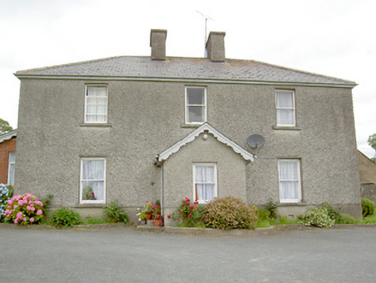 Gorteen Househouse · 648 yd
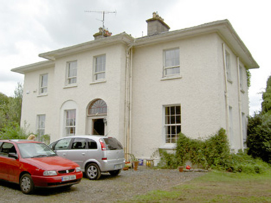 Vicarsfield Houserectory/glebe/vicarage/curate's house · 892 yd
 Grave YdGraveyard · 1206 yd
 Ballinalee Forest WalkForest · 1469 yd
 Bawn in CurrycahillBawn · 1572 yd
 Cultivation ridges in Ballinalee OR SaintjohnstownCultivation ridges · 1583 yd
 Bully's Acregraveyard/cemetery, unknown · 1.1 mi
 Moat & CastleCastle, motte and bailey · 2.5 mi
 Cloonfin WoodForest · 3.1 mi
 Clonfin Ambush MemorialMemorial · 3.3 mi
 Edgeworthstown BypassMemorial · 5.3 mi
 InchmoreIslet · 5.8 mi