What is recorded here
Situated on SW facing slope of hillock in undulating grassland with good views of Lough Derravaragh to NW. Gartlandstown House lies 390m to N. Ringfort (WM012-010----) 400m to SW, earthwork (WM012-013----) 340m to NE. Depicted on the 1837 OS Fair Plan map as a small roughly circular-shaped enclosure planted with trees, annotated as a ‘fort’. Described in 1972 as a monument that has been almost completely levelled. All that survived are the poorly preserved remains of a raised sub-circular shaped area (approx. diam. 27m N-S; 29m E-W) which marks the site of the levelled 'fort'. No surface remains visible of monument on Digital Globe aerial photograph taken November 2011.
Compiled by: Frank Coyne and Caimin O'Brien
Date of upload: 15 November 2017
The monument record does not grant public access. Check the route and ask the landowner before entering private land.
- What survives
- Recorded monument
Places near here
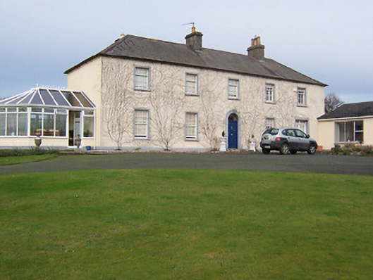 Gartlandstown Studhouse · 652 yd
 IndicatedQuarry · 1329 yd
 Taghmon CastleCastle, tower house · 1421 yd
 Concentric enclosure in FroghanstownConcentric enclosure · 1.0 mi
 Hut site in FroghanstownHut site · 1.1 mi
 KnockeyonMountain / peak · 1.1 mi
 Mortimer's CastleArchaeological place · 3.6 mi
 Long PlantingForest · 3.7 mi
 Scragh Bog Nature ReserveNature reserve · 4.1 mi
 Bridge Memorial (Kenna)Memorial · 4.9 mi
 Church IslandIsland · 4.9 mi
 South East GateHeritage attraction · 5.1 mi