What is recorded here
Situated on undulating grassland. Depicted on the 1837 OS Fair Plan map as a sub-circular shaped enclosure annotated ‘fort’. Earthwork (WM012-014----) 400m to NE. At the time of an ASI site visit in 1970 the monument was in the process of being levelled as part of land reclamation works. A sub-circular shaped area (diam. 27.8m ENE-WSW; 26.9m NNW-SSE) enclosed by a well preserved earth and stone bank (max. H 1m; Wth 5.7m) with entrance gap at ENE (Wth 2m). The interior had a general slope from E-W with a slight rise towards the centre. This site is now visible as a slight crop mark on Digital Globe aerial photograph taken November 2011.
Compiled by: Frank Coyne and Caimin O'Brien
Date of upload: 30 August 2017
The monument record does not grant public access. Check the route and ask the landowner before entering private land.
- What survives
- Recorded monument
Places near here
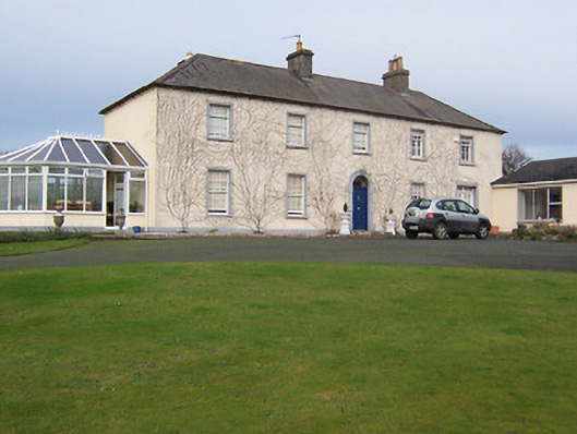 Gartlandstown Studhouse · 742 yd
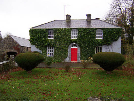 Martinstown Househouse · 1329 yd
 Taghmon CastleCastle, tower house · 1479 yd
 KnockeyonMountain / peak · 1.1 mi
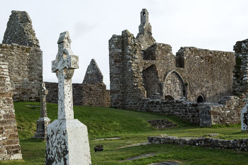 Partially hachuredFairy fort / earthen ringfort · 1.1 mi
 Hut site in FroghanstownHut site · 1.2 mi
 Long PlantingForest · 3.5 mi
 Mortimer's CastleArchaeological place · 3.6 mi
 Scragh Bog Nature ReserveNature reserve · 3.8 mi
 Church IslandIsland · 4.7 mi
 Bridge Memorial (Kenna)Memorial · 4.7 mi
 Saint Brigid's WellSpring · 5.1 mi