What is recorded here
Fairy fort / earthen ringfort in Garrynoe is a fairy fort or earthen ringfort in Garrynoe, County Tipperary, Ireland. The earth and stone bank encloses a circular area thirty metres north to south and thirty-three metres east to west on a southeast-facing slope. The external fosse is visible from northeast through north to northwest and at the south, but it is filled in along the east quadrant and destroyed by an intersecting field boundary at the west. Wall footings of a filled-in limekiln built into the east face remain, and a shallow quarry in the east quadrant of the interior appears to be associated with that kiln.
In grassland on a SE-facing slope of rising ground in upland region, good views to E and S, higher ground to N and W. Ringfort consists of a slightly raised circular (int. diam. 30m N-S; 33m E-W) area enclosed by an earth and stone bank (base Wth 3.5m; top Wth 1.5m; ext. H 1-1.7m; int. H 0.2m) mainly reduced to a scarp and external fosse (base Wth 2m; top Wth 5m; ext. D 0.9m) visible from NE through N to NW and at S only, filled in along E quadrant of ringfort and destroyed by intersecting field boundary at W, gap in bank (Wth 1.5m) at S and livestock gap (Wth 2m) in bank at N. Only the wall-footings of a filled in Limekiln built into E face of ringfort survives. Monument intersected by field boundary at W on a N-S axis, this field boundary is not shown on the 1840 ed. OS amp but is shown on the 1903 ed. OS 6-inch map. Shallow quarry located in E quadrant of interior appears to be associated with the limekiln.
Compiled by: Jean Farrelly
Date of upload: 26 August 2011
The monument record does not grant public access. Check the route and ask the landowner before entering private land.
- What survives
- Recorded monument
Places near here
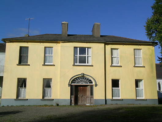 Ballingarry Presentation Conventcountry house · 559 yd
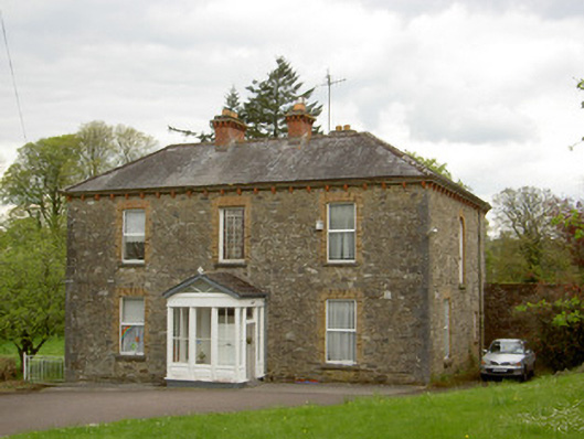 presbytery/parochial/curate's housepresbytery/parochial/curate's house · 744 yd
 Site of ChurchChurch · 850 yd
 Site of CastleCastle, unclassified · 901 yd
 Ballingarry Castle (ruins)Archaeological place · 905 yd
 Enclosure in GlengallEnclosure · 1181 yd
 Top Field at Carey'sForest · 3.1 mi
 Warhouse HillMountain / peak · 3.1 mi
 Second Field on the HillForest · 3.2 mi
 Waterloo HillMountain / peak · 3.5 mi
 Slieveardagh Heritage CentreVisitor information · 4.4 mi
 Derrynaflan TrailHeritage attraction · 5.8 mi