What is recorded here
Fairy fort / earthen ringfort in Garrynoe is a fairy fort or earthen ringfort in Garrynoe, County Tipperary, Ireland. The small circular site occupies an east-facing slope and encloses an area 18 metres northwest to southeast by 16 metres northeast to southwest with an earth and stone bank and an external ditch. The ditch is visible from north through east to south, while a three-metre causewayed entrance opens at the southeast. Cattle erosion has reduced the bank to a scarp along the same northern, eastern and southern arc.
In reclaimed grassland on an E-facing slope of rising ground in upland region, good views to N, E and S, higher ground to W. Ringfort consists of a small circular (diam. 18m NW-SE; 16m NE-SW) area enclosed by a poorly preserved earth and stone bank (base Wth 2m; top Wth 1.4m; ext. H 0.8-1.7m; int. H 0.1-0.3m) and external fosse (base Wth 1.2m; top Wth 3.5m; ext. D 0.3-0.8m) visible from N through E to S only, filled in elsewhere, causewayed entrance (Wth 3m) at SE. Poorly preserved interior with evidence of field clearance debris dumped in interior and bank has been reduced to a scarp by cattle erosion on the N through E to S of the ringfort. Monument intersected by field boundary at SW and NE as depicted on 1843 ed. OS 6-inch map. Originally the ringfort was located on wet grassland in upland region with slightly raised interior enclosed by a bank and outer fosse with entrance feature on the downslope at E. Interior slopes from W to E, following natural slope of terrain. Gap in bank at NE (Wth 1m) appears to be for livestock.
Compiled by: Jean Farrelly
Date of upload: 26 August 2011
The monument record does not grant public access. Check the route and ask the landowner before entering private land.
- What survives
- Recorded monument
Places near here
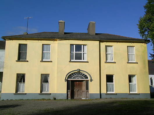 Ballingarry Presentation Conventcountry house · 527 yd
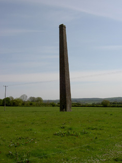 Copper Steeplechimney · 553 yd
 Ballingarry Castle (ruins)Archaeological place · 805 yd
 Site of CastleCastle, unclassified · 920 yd
 Site of ChurchChurch · 973 yd
 Enclosure in GlengallEnclosure · 1539 yd
 Warhouse HillMountain / peak · 3.0 mi
 Top Field at Carey'sForest · 3.1 mi
 Second Field on the HillForest · 3.2 mi
 Waterloo HillMountain / peak · 3.3 mi
 Slieveardagh Heritage CentreVisitor information · 4.4 mi
 Derrynaflan TrailHeritage attraction · 5.6 mi