What is recorded here
Thirty-three metres of hidden ring in Galway grassland, broken only where nettles still mark the forgotten ditch. Cattle ate the thistles and hawthorn that once choked the interior, exposing a shallow bowl rather than a fortress. The fairies may have built it, but people kept it alive by clearing, using and forgetting it in turns.
In low-lying grassland. When initially visited by the Survey in July 1983, this very poorly preserved circular rath (diam. 33m) was defined by a bank from SE through W to NNW. The line of an external fosse was indicated by a band of nettles. The monument was heavily overgrown with hawthorn and thistles. On a revisit in 1992, it was noted that the interior of the monument had been cleared of overgrowth to provide a feeding area for cattle.
Compiled by: Galway Archaeological Survey, UCG
Date of upload: 22 December 2017
The monument record does not grant public access. Check the route and ask the landowner before entering private land.
- What survives
- Recorded monument
Places near here
 Church in Garryad AND GarryduffChurch · 365 yd
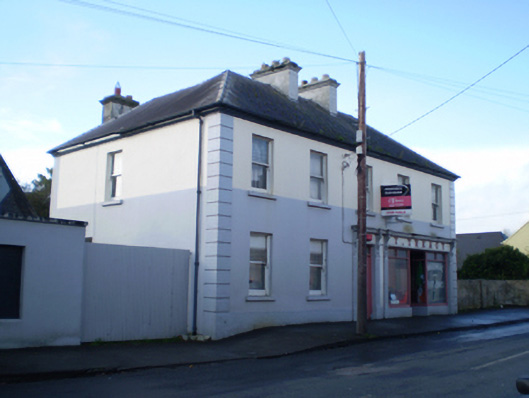 T. Treacyhouse · 434 yd
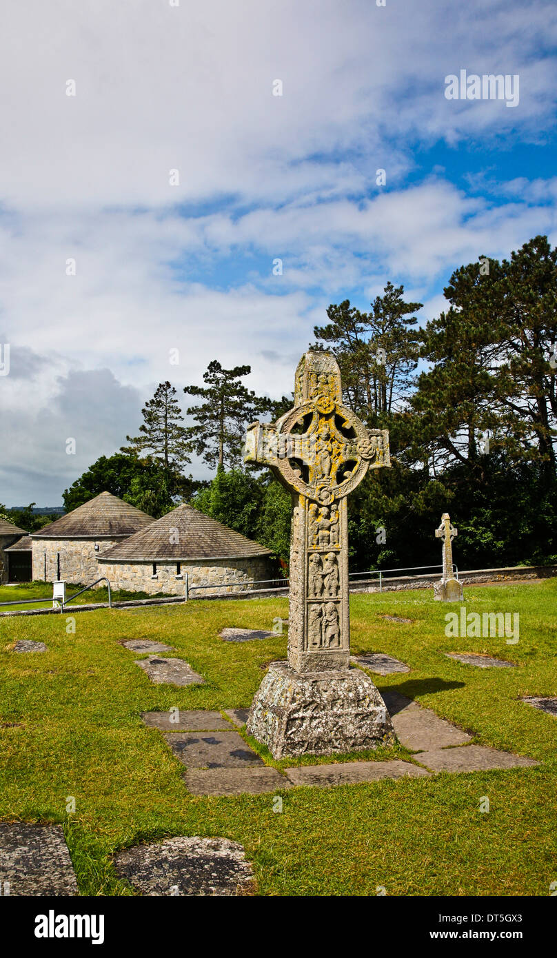 Site of CrossCross · 642 yd
 ‘St. Imor’s Holy Well’Holy well · 688 yd
 Site of CastleCastle, unclassified · 2.4 mi
 Church HillMountain / peak · 3.4 mi
 Quarryhill WoodWood · 3.7 mi
 Bog WoodForest · 3.8 mi
 Pallas CastleCastle, tower house · 3.8 mi
 Redmond HillMountain / peak · 7.4 mi
 The bloody HollowHeritage attraction · 8.9 mi
 Battle of AughrimMajor battlefield · 9.1 mi