What is recorded here
Half a mile of forgotten road, a ring of earth thirty metres wide, and a shallow ditch that still holds rain. The fort in Garrynagranoge has no gate, no tower, no name in the local tongue, yet it remains the clearest mark of human presence on that pasture. It is the kind of place people stop describing literally, because the shape does more work than measurement.
In level pasture. Circular, grass-covered area (32.9m N-S; 32m E-W) enclosed by earthen bank (int. H 0.4m; ext. H 0.6m) with external fosse (max. D 1m). Fosse well defined except to E and W where shallow depression survives. Interior saucer-shaped; depression (Wth 2m; D 0.2m), running from E to SW, crosses S half of interior.
The above description is derived from the published 'Archaeological Inventory of County Cork. Volume 4: North Cork' (Dublin: Stationery Office, 2000). In certain instances the entries have been revised and updated in the light of recent research.
Date of upload/revision: 14 January 2009
The monument record does not grant public access. Check the route and ask the landowner before entering private land.
- What survives
- Recorded monument
Places near here
 Enclosure in Ardmore (orrery and Kilmore By.)Enclosure · 1139 yd
 Ban a tSusaFairy fort / earthen ringfort · 1194 yd
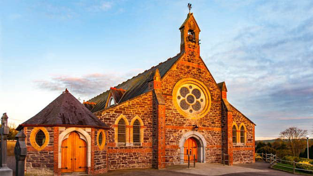 Cooliney Church (in Ruins)Church · 1625 yd
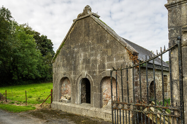 Milltown Castledemesne walls/gates/railings · 1711 yd
 CastleCastle, motte · 1.3 mi
 Holy Cross CemeteryGraveyard · 1.8 mi
 Castle Harrison on Site of Castle (19*Castle, unclassified · 2.0 mi
 Windmill HillMountain / peak · 3.9 mi
 Ballyhoura WayWalking route · 3.9 mi
 BallinaboolaVisitor information · 4.1 mi
 CarrigeenMountain / peak · 4.1 mi
 ToberSpring · 4.2 mi