What is recorded here
That is the one available description. Garrymore holds a circular earthwork thirty metres wide, ringed by a one-metre bank and shallow outer ditch, with two narrow breaks in the rim. It sits in pasture on a north-facing slope, simple enough to walk around and odd enough to stop someone listening. The measurements leave the shape clear even when the history retreats.
In pasture, on N-facing slope. Circular area (diam 30m E-W) enclosed by earthen bank (H 1m) with external fosse (D 1.8m) SSE-NW. Breaks in bank to E (Wth 2.3m) and NW.
The above description is derived from the published 'Archaeological Inventory of County Cork. Volume 1: West Cork' (Dublin: Stationery Office, 1992). In certain instances the entries have been revised and updated in the light of recent research.
Date of upload/revision: 14 January 2009
The monument record does not grant public access. Check the route and ask the landowner before entering private land.
- What survives
- Recorded monument
Places near here
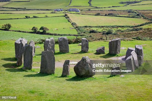 Mass-rock in Drombeg (ibane and Barryroe By.)Mass-rock · 427 yd
 Fulacht FiadhFulacht fia · 815 yd
 Muckruss HouseCountry house · 1689 yd
 CastleCastle, unclassified · 1757 yd
 road (section of)road (section of) · 1.1 mi
 Inchydoney BeachBeach / strand · 1.4 mi
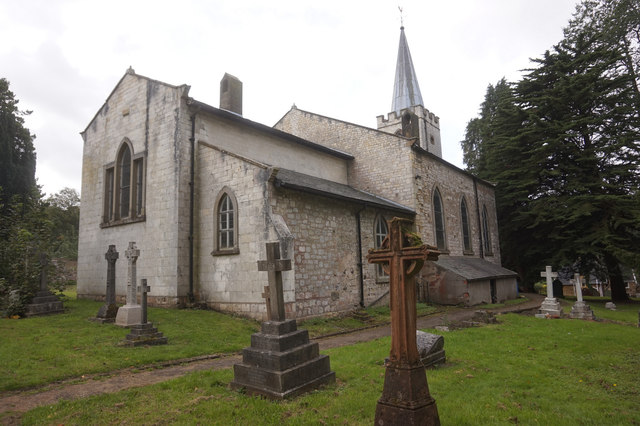 St. James WellSpring · 1.8 mi
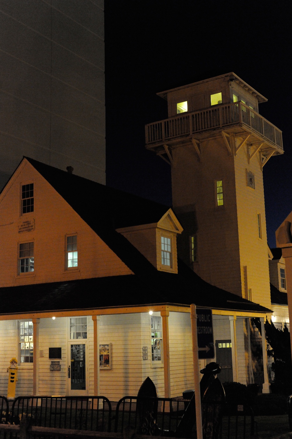 Old Coast Guard StationRuins · 1.8 mi
 Clonakilty HarbourBay · 2.1 mi
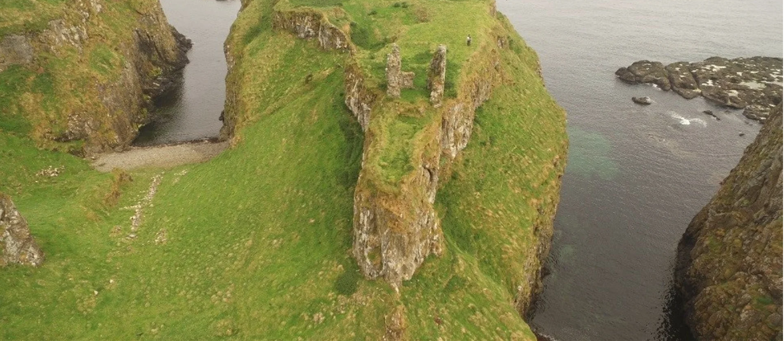 Dunnycove Castle (in Ruins)Castle, tower house · 2.1 mi
 Clonakilty Blackpudding Visitor CentreHeritage attraction · 2.1 mi
 Cloch na gCoillteMemorial · 2.3 mi