What is recorded here
Fairy forts are a local name for earthen ringforts. People once built them, not fairies. That much is clear. What is less certain is when they stopped being homes and became legends. In Garryfine the banks still stand in pasture, broken only where fields and cattle wore them open. The hole near the centre may have held a hut, a well or a hearth. More likely it marked the place where a family stood, argued, cooked and loved before disappearing from every record. The fairies entered later, filling the vacancy with wonder.
In gently undulating pasture. Circular area (c. 26m N-S; c. 25m E-W) enclosed by two concentric earthen banks with intervening fosse (Wth 1.5m). Inner bank (int. H 0.3m; ext. H 1.9m) is tree lined. Exterior bank (int. H 0.7m; ext. H 1.2m) is most prominent NW->NE but severely truncated by field boundary SW->NW, as is outer edge of fosse. Gap is banks at NW (Wth 0.7m) used by cattle accessing interior. Interior slopes down gently to S and is generally covered by overgrowth, particularly at N end. Just W-of-centre is oval hollow (3m N-S; 4.6m E-W; D 0.6m).
Compiled by: Denis Power
Date of upload: 26 August 2011
The monument record does not grant public access. Check the route and ask the landowner before entering private land.
- What survives
- Recorded monument
Places near here
 Old Grave YardChildren's burial ground · 1511 yd
 Parknaraby FortArchaeological place · 1.0 mi
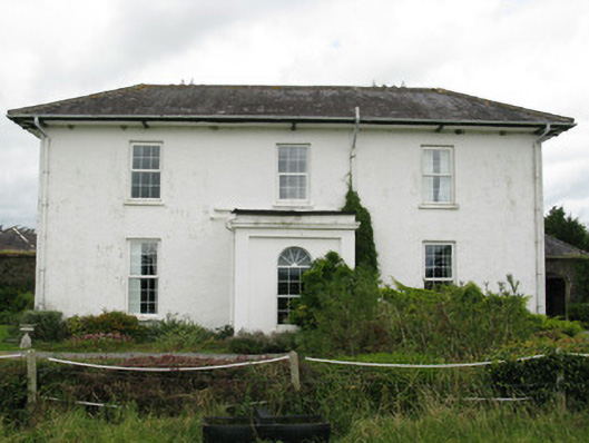 Ballyteigue Housecountry house · 1.3 mi
 Glenbrook Housecountry house · 1.7 mi
 Saint Derivla's WellSpring · 2.0 mi
 Eagle Mount MoteCastle, motte · 3.1 mi
 Bawn in CregganeBawn · 3.1 mi
 Our Lady's WellSpring · 3.2 mi
 Holy Cross CemeteryGraveyard · 5.1 mi
 KnockfeerinaMountain / peak · 5.1 mi
 Famine stoneMemorial · 5.5 mi
 National Co-op MuseumMuseum · 8.4 mi