What is recorded here
Mature conifers drop needles across the scarped edge of the Garroose ringfort, while cattle churn the grassy interior into a muddy bowl. The western causeway still breaks the circle, inviting entry into a space where human hands shaped earth centuries before the trees claimed it back.
In level pasture. Circular area (20.2m N-S; 22.3m E-W) defined by scarped edge (H 0.45m; Wth 1.85m) with external fosse (D 0.25m; Wth 1.95m), and with counterscarp bank (H 0.2m) SW->NNW. Scarp and fosse are barely discernible ENE->ESE. Causeway entrance (Wth 2m) at W. Enclosing element is covered by mature coniferous trees, some now fallen. Level interior is under grass which has been heavily poached by cattle.
Compiled by: Denis Power
Date of upload: 26 August 2011
The monument record does not grant public access. Check the route and ask the landowner before entering private land.
- What survives
- Recorded monument
Places near here
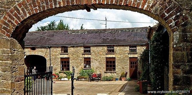 Enclosure in BrureeEnclosure · 205 yd
 San Giovannihouse · 664 yd
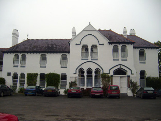 Cuan Mhuirecountry house · 725 yd
 IndicatedHoly well · 1074 yd
 Bruree Castle Upper (ruins)Castle · 1081 yd
 Eagle Mount MoteCastle, motte · 1610 yd
 King John's CastleCastle · 3.3 mi
 Lady's WellSpring · 4.1 mi
 ToberSpring · 4.1 mi
 Holy Cross CemeteryGraveyard · 4.8 mi
 KnockfeerinaMountain / peak · 7.7 mi
 Flat cemetery in Knockainy WestFlat cemetery · 9.0 mi