What is recorded here
Fairy fort in Garraunboy, County Limerick: an earthen ringfort, roughly 53m by 42m, cut in two by a north-south road. It appeared on the 1840 Ordnance Survey map and still shows as a faint cropmark in satellite images. The road may have taken its entrance, its centre, or its shape. What remains is a circle interrupted, which is often what human places become when they stop belonging to one household.
In gently undulating pasture, 80m N of a townland boundary with Boherbraddagh. Depicted on the 1840 ed. OS 6-inch map as a circular-shaped earthwork (approx. 53m E-W; 42m N-S) bisected by a public road running N-S. Monument is visible as a very faint circular-shaped cropmark bisected by the public road on Digital Globe orthophotos taken 2011-13 and on Google Earth orthoimage taken 29/03/2012
See attached Google Earth orthoimage.
Compiled by: Alison McQueen and Vera Rahilly
Date of upload: 6 August 2020
The monument record does not grant public access. Check the route and ask the landowner before entering private land.
- What survives
- Recorded monument
Places near here
 Garraunboy CastleCastle · 418 yd
 Church (in ruins)Church · 822 yd
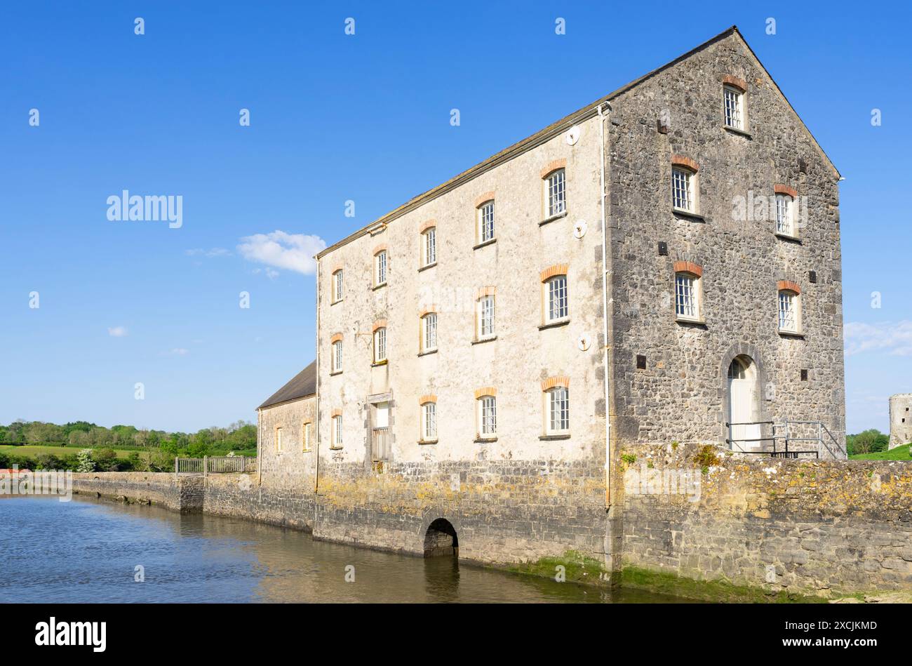 Clonshire Mill (Corn)Mill, corn · 1206 yd
 Clonshire CastleCastle · 1448 yd
 Enclosure in CroaghEnclosure · 1514 yd
 OutlinedEnclosure · 1.0 mi
 Flat cemetery in Kiltenan SouthFlat cemetery · 1.4 mi
 Adare Tourist OfficeVisitor information · 2.3 mi
 GinkgoGinkgo · 2.5 mi
 European YewEuropean Yew · 2.6 mi
 Desmond CastleHeritage attraction · 2.7 mi
 Adare Desmond CastleMedieval castle · 2.7 mi