What is recorded here
Fairy fort in Garraneycarney is a circular earthen ring, twenty-one metres wide, on a south-facing slope above the Foherish River. Its bank stands two metres high outside, faces stone in places, and opens two and a half metres to the southeast. Bracken still covers the gently sinking interior, while pasture surrounds the place. People may have lived there, fenced stock there, or simply avoided the fort because the fairies already claimed it.
In pasture, on S-facing slope, just N of Foherish River. Circular, slightly raised area (21m E-W) defined by earthen bank (int. H 0.7m; ext. H 2m), stone-faced externally in parts. Entrance (Wth 2.5m) to SSE. Interior slopes gently down to S; covered in bracken.
The above description is derived from the published 'Archaeological Inventory of County Cork. Volume 3: Mid Cork' (Dublin: Stationery Office, 1997). In certain instances the entries have been revised and updated in the light of recent research.
Date of upload/revision: 14 January 2009
The monument record does not grant public access. Check the route and ask the landowner before entering private land.
- What survives
- Recorded monument
Places near here
 IndicatedHut site · 447 yd
 KilnKiln, corn-drying · 1037 yd
 Man-made underground passage in Gleann DaimhMan-made underground passage · 1.0 mi
 Cnoc na nUlán (mullach thoir)Mountain / peak · 1.4 mi
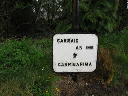 sign postsign post · 1.5 mi
 Mullaghanish Far North-East TopMountain / peak · 1.8 mi
 Kilmeedy CastleCastle, tower house · 4.2 mi
 Castle (Site of)Castle, unclassified · 4.3 mi
 Cascade WoodWood · 4.4 mi
 Kealaboane WoodWood · 4.4 mi
 Standing Stone ? At J WellMemorial · 4.5 mi
 Paddy Mulcahey 2009Memorial · 4.5 mi