What is recorded here
No visible trace remains in Garrane, though local memory still shapes the hidden fort. It is an earthen ring in County Kerry, the kind of small defended place people built when strength and ownership mattered. Anything written about it must wait for the lost file to return.
The Archaeological Survey of Ireland (ASI) is in the process of providing information on all monuments on The Historic Environment Viewer (HEV). Currently the information for this record has not been uploaded. To access available information for research purposes please make an appointment in advance with the Archive Unit (open Fridays 10.00 am – 5.00 pm), Department of Housing, Local Government and Heritage, The Custom House, Dublin 1 D01W6XO or email NMarchive@housing.gov.ie.
The monument record does not grant public access. Check the route and ask the landowner before entering private land.
- What survives
- Recorded monument
Places near here
 Enclosure in Curravogh SouthEnclosure · 363 yd
 LisnadreegleeArchaeological place · 610 yd
 Church (in ruins)Chapel · 1424 yd
 Monterey PineMonterey Pine · 1465 yd
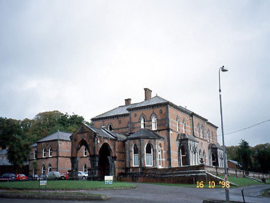 Collis-Sandes Housecountry house · 1614 yd
 Sunday's WellSpring · 1.1 mi
 CastleCastle, tower house · 1.4 mi
 Crimea Cannon and War MemorialMonument · 2.2 mi
 Castle MacallistrumCastle, unclassified · 2.2 mi
 Kerry PrisonersMemorial · 2.4 mi
 Kerry County MuseumMuseum · 2.4 mi
 Tobar na MoltSpring · 2.8 mi